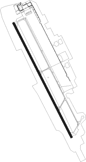
Plattsburgh - Plattsburgh Intl
Airport details
| Country | United States of America |
| State | New York |
| Region | K6 |
| Airspace | Boston Ctr |
| Municipality | Town of Plattsburgh |
| Elevation | 229ft (70m) |
| Timezone | GMT -5 |
| Coordinates | 44.65094, -73.46814 |
| Magnetic var | |
| Type | land |
| Available since | X-Plane v10.40 |
| ICAO code | KPBG |
| IATA code | PBG |
| FAA code | PBG |
Communication
| Plattsburgh Intl AWOS | 132.225 |
| Plattsburgh Intl CTAF/UNICOM | 122.700 |
| Plattsburgh Intl BURLINGTON Approach/Departure | 121.100 |
Approach frequencies
| ILS-cat-I | RW35 | 109.7 | 18.00mi |
| 3° GS | RW35 | 109.7 | 18.00mi |
Nearby Points of Interest:
Bluff Point Light
-United States Oval Historic District
-Valcour Bay
-W. W. Hartwell House & Dependencies
-Hawkins Hall
-Brinkerhoff Street Historic District
-The Point Historic District
-Court Street Historic District
-S. F. Vilas Home for Aged & Infirmed Ladies
-Winslow-Turner Carriage House
-Clinton County Courthouse Complex
-City Hall
-House at 56 Cornelia Street
-William Bailey House
-Paul Marshall House
-W. G. Wilcox House
-Kent-Delord House
-Charles C. Platt Homestead
-Plattsburgh Bay
-Heyworth–Mason Industrial Building
-Peru Community Church
-Carpenter's Flats Bridge
-Gordon-Center House
-AuSable Chasm Bridge
-Old State Road Bridge
Nearby beacons
| code | identifier | dist | bearing | frequency |
|---|---|---|---|---|
| BT | HERRO (BURLINGTON) NDB | 11.7 | 118° | 382 |
| BJA | BURLINGTON TACAN | 16.9 | 119° | 112.40 |
| BTV | BURLINGTON VOR/DME | 19.5 | 132° | 117.50 |
| SLK | LAKE DME | 35.3 | 250° | 109.20 |
| YJN | DME | 36.8 | 14° | 115.80 |
| ZHU | HAUTS-BOIS (MONTREAL) NDB | 55 | 8° | 407 |
| DYO | SMUTO (RUTLAND) NDB | 60.8 | 152° | 221 |
| YUL | MONTREAL VOR/DME | 61.7 | 332° | 116.30 |
| ZMR | HERMAS (MONTREAL) NDB | 64.1 | 328° | 272 |
Instrument approach procedures
| runway | airway (heading) | route (dist, bearing) |
|---|---|---|
| RW17 | BTV (312°) | BTV OTGOE (33mi, 319°) 3800ft OTGOE (turn) 3500ft |
| RW17 | RIGID (77°) | RIGID OTGOE (18mi, 29°) 4000ft OTGOE (turn) 3500ft |
| RNAV | OTGOE 3500ft JUKBA (6mi, 150°) 2500ft NUPIY (4mi, 150°) 1240ft KPBG (4mi, 150°) 288ft CAPNU (13mi, 150°) 3100ft CAPNU (turn) | |
| RW35 | BTV (312°) | BTV CAPNU (8mi, 287°) 3000ft |
| RW35 | CAPNU (330°) | CAPNU 3000ft |
| RW35 | LEAFY (13°) | LEAFY REVLE (6mi, 53°) 5500ft CAPNU (6mi, 54°) 3000ft |
| RNAV | CAPNU 3000ft BAVDE (6mi, 330°) 2200ft KPBG (7mi, 330°) 215ft (4704mi, 121°) 427ft OTGOE (4712mi, 301°) 3500ft OTGOE (turn) |
Disclaimer
The information on this website is not for real aviation. Use this data with the X-Plane flight simulator only! Data taken with kind consent from X-Plane 12 source code and data files. Content is subject to change without notice.