Phillips - Price Co
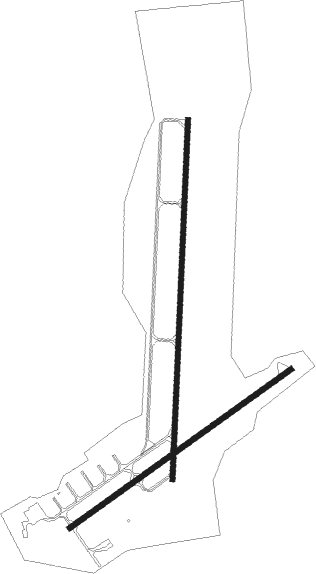
Airport details
| Country | United States of America |
| State | Wisconsin |
| Region | K5 |
| Airspace | Minneapolis Ctr |
| Municipality | Phillips |
| Elevation | 1497ft (456m) |
| Timezone | GMT -6 |
| Coordinates | 45.70895, -90.40250 |
| Magnetic var | |
| Type | land |
| Available since | X-Plane v10.40 |
| ICAO code | KPBH |
| IATA code | n/a |
| FAA code | PBH |
Communication
| Price Co AWOS 3 | 125.875 |
| Price Co CTAF/UNICOM | 122.800 |
| Price Co MINNEAPOLIS Approach/Departure | 133.650 |
Nearby Points of Interest:
Fifield Town Hall
-Marion Park Pavilion
-Glidden State Bank
-Jump River Town Hall

Nearby beacons
| code | identifier | dist | bearing | frequency |
|---|---|---|---|---|
| RCX | RUSK COUNTY (LADYSMITH) NDB | 28 | 251° | 356 |
| DO | DOUGY (MINOCQUA WOODRUFF) NDB | 29.1 | 79° | 236 |
| RH | ARSHA (RHINELANDER) NDB | 33.2 | 96° | 272 |
| RHI | RHINELANDER VOR/DME | 39.9 | 95° | 109.20 |
| IWD | IRONWOOD VOR/DME | 50.7 | 19° | 108.80 |
| AUW | WAUSAU VOR/DME | 62.2 | 137° | 111.60 |
Instrument approach procedures
| runway | airway (heading) | route (dist, bearing) |
|---|---|---|
| RW01 | BAITS (349°) | BAITS URPOW (13mi, 332°) 4000ft |
| RW01 | LAYVU (77°) | LAYVU GUGFO (14mi, 99°) 4000ft URPOW (7mi, 94°) 4000ft |
| RW01 | URPOW (10°) | URPOW 4000ft |
| RNAV | URPOW 4000ft GOFXO (6mi, 10°) 3100ft CAMEM (3mi, 10°) 2100ft KPBH (2mi, 10°) 1506ft (5422mi, 117°) 1731ft LODVY (5421mi, 297°) 4100ft LODVY (turn) | |
| RW06 | BAITS (349°) | BAITS CIVUD (16mi, 308°) 4000ft OVEGY (5mi, 319°) 4000ft |
| RW06 | LAYVU (77°) | LAYVU OVEGY (11mi, 87°) 4000ft |
| RW06 | RUSSH (122°) | RUSSH OVEGY (17mi, 175°) 4000ft OVEGY (turn) 4000ft |
| RNAV | OVEGY 4000ft KAYEV (7mi, 67°) 3100ft WONUG (3mi, 67°) 2100ft KPBH (2mi, 64°) 1512ft (5422mi, 117°) 1840ft CUNOS (5412mi, 297°) 4200ft CUNOS (turn) | |
| RW19 | KRSMS (245°) | KRSMS INOKY (9mi, 271°) 4100ft LODVY (5mi, 275°) 4100ft |
| RW19 | LAYVU (77°) | LAYVU DAHVO (27mi, 53°) 4100ft LODVY (5mi, 95°) 4100ft |
| RW19 | LODVY (190°) | LODVY 4100ft |
| RNAV | LODVY 4100ft OJIKY (6mi, 190°) 3100ft KPBH (5mi, 190°) 1532ft URPOW (11mi, 190°) 4000ft URPOW (turn) | |
| RW24 | FASUX (286°) | FASUX CUNOS (24mi, 306°) 4000ft |
| RW24 | KRSMS (245°) | KRSMS CUNOS (7mi, 240°) 4000ft |
| RW24 | RUSSH (122°) | RUSSH CUNOS (22mi, 98°) 4000ft CUNOS (turn) 4000ft |
| RNAV | CUNOS 4000ft HUSRA (6mi, 247°) 3200ft ZIGIV (3mi, 247°) 2120ft KPBH (2mi, 251°) 1517ft (5422mi, 117°) 1897ft OVEGY (5433mi, 297°) 4200ft OVEGY (turn) |
Disclaimer
The information on this website is not for real aviation. Use this data with the X-Plane flight simulator only! Data taken with kind consent from X-Plane 12 source code and data files. Content is subject to change without notice.