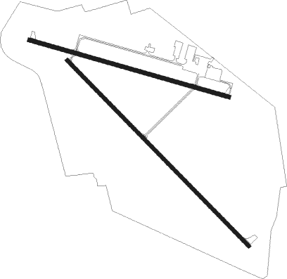
Prairie Du Chien - Prairie Du Chien Muni
Airport details
| Country | United States of America |
| State | Wisconsin |
| Region | K5 |
| Airspace | Chicago Ctr |
| Municipality | Town of Bridgeport |
| Elevation | 660ft (201m) |
| Timezone | GMT -6 |
| Coordinates | 43.01929, -91.12373 |
| Magnetic var | |
| Type | land |
| Available since | X-Plane v10.40 |
| ICAO code | KPDC |
| IATA code | PCD |
| FAA code | PDC |
Communication
| Prairie du Chien Muni AWOS | 119.925 |
| Prairie du Chien Muni CTAF | 122.800 |
| Prairie du Chien Muni ATC Tower | 122.800 |
Nearby Points of Interest:
Old Rock School
-Prairie du Chien Post Office
-W.H.C. Folsom House
-Commercial Hotel
-Prairie du Chien City Hall
-Joseph "Diamond Jo" Reynolds Office Building and House
-McGregor Commercial Historic District
-Goedert Meat Market
-Strange Powers House
-Christian Bloedel Wagon Works
-St. Germain dit Gauthier House
-Rolette House
-Brisbois House
-Astor Fur Warehouse
-Villa Louis
-Francois Vertefeuille House
-Clayton School
-Valley Mills
-I.O.O.F. Hall
-First Congregational Church
-Kickapoo River
-St. Peters United Evangelical Lutheran Church
-Lakeside Ballroom
-Guttenberg Corn Canning Co.
-Albertus Building

Nearby beacons
| code | identifier | dist | bearing | frequency |
|---|---|---|---|---|
| UKN | DME | 23.9 | 302° | 116.60 |
| DBQ | DUBUQUE VORTAC | 41.3 | 146° | 115.80 |
| LNR | ROCK DME | 46.4 | 74° | 116.05 |
| DB | ZILOM (DUBUQUE) NDB | 47.8 | 143° | 341 |
| IIB | WAPSIE (INDEPENDENCE) NDB | 49.8 | 236° | 206 |
| LSE | CROSSE DME | 51.7 | 351° | 108.40 |
| ODI | NODINE VORTAC | 55.6 | 339° | 117.90 |
| CMY | MC COY NDB | 59 | 28° | 412 |
| LS | MINDI (LA CROSSE) NDB | 59.4 | 352° | 272 |
| VOK | VOLK (CAMP DOUGLAS) TACAN | 67 | 43° | 110.40 |
Instrument approach procedures
| runway | airway (heading) | route (dist, bearing) |
|---|---|---|
| RW14 | BASPE (131°) | BASPE 3000ft |
| RW14 | CALPI (108°) | CALPI 3000ft BASPE (5mi, 58°) 3000ft |
| RW14 | TIGBE (161°) | TIGBE 3000ft BASPE (5mi, 238°) 3000ft |
| RNAV | BASPE 3000ft ANAGE (5mi, 131°) 2300ft CELRI (turn) 1960ft KPDC (4mi, 130°) 696ft (5455mi, 115°) 1061ft TEVEE (5448mi, 295°) 3000ft TEVEE (turn) | |
| RW29 | ALIGE (268°) | ALIGE 3000ft UWEVY (5mi, 207°) 3000ft |
| RW29 | ELUNE (305°) | ELUNE 3000ft UWEVY (5mi, 27°) 3000ft |
| RW29 | UWEVY (285°) | UWEVY 3000ft |
| RNAV | UWEVY 3000ft BAKBE (5mi, 285°) 2700ft FALNO (3mi, 285°) 1740ft KPDC (3mi, 284°) 699ft (5455mi, 115°) 2000ft UWEVY (5444mi, 295°) 3000ft UWEVY (turn) | |
| RW32 | ARULE (341°) | ARULE 3000ft TEVEE (5mi, 58°) 3000ft |
| RW32 | BITLE (289°) | BITLE 3000ft TEVEE (5mi, 238°) 3000ft |
| RW32 | TEVEE (312°) | TEVEE 3000ft |
| RNAV | TEVEE 3000ft AVABE (5mi, 311°) 2300ft KPDC (6mi, 312°) 690ft (5455mi, 115°) 1061ft BASPE (5461mi, 295°) 3000ft BASPE (turn) |
Disclaimer
The information on this website is not for real aviation. Use this data with the X-Plane flight simulator only! Data taken with kind consent from X-Plane 12 source code and data files. Content is subject to change without notice.