Batesville - Panola County
Airport details
| Country | United States of America |
| State | Mississippi |
| Region | K7 |
| Airspace | Memphis Ctr |
| Municipality | Panola County |
| Elevation | 221ft (67m) |
| Timezone | GMT -6 |
| Coordinates | 34.36350, -89.89289 |
| Magnetic var | |
| Type | land |
| Available since | X-Plane v10.40 |
| ICAO code | KPMU |
| IATA code | n/a |
| FAA code | PMU |
Communication
Approach frequencies
| LOC | RW19 | 110.35 | 18.00mi |
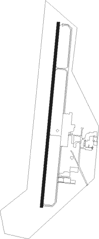
Runway info
| Runway 1 / 19 | ||
| length | 1529m (5016ft) | |
| bearing | 12° / 192° | |
| width | 23m (75ft) | |
| surface | asphalt | |
| displ threshold | 181m (594ft) / 0m (0ft) | |
Nearby beacons
| code | identifier | dist | bearing | frequency |
|---|---|---|---|---|
| UV | TUNNG (OXFORD) NDB | 13.2 | 85° | 426 |
| HLI | HOLLY SPRINGS VORTAC | 31.3 | 44° | 112.40 |
| MEM | MEMPHIS VORTAC | 39.3 | 352° | 117.50 |
| UJM | MARVELL (HELENA) VOR/DME | 40.7 | 285° | 109.60 |
| GW | TEOCK NDB | 47.3 | 194° | 349 |
| SQS | SIDON VORTAC | 57.3 | 203° | 114.70 |
| GQE | GILMORE VOR/DME | 65.7 | 329° | 113 |
Instrument approach procedures
| runway | airway (heading) | route (dist, bearing) |
|---|---|---|
| RW01 | HEDAX (12°) | HEDAX 2800ft |
| RNAV | HEDAX 2800ft ZUPGO (7mi, 12°) 1900ft PENOY (2mi, 12°) 1100ft KPMU (3mi, 12°) 280ft (5400mi, 111°) 900ft HEDAX (5402mi, 291°) 2800ft HEDAX (turn) | |
| RW19 | SUBOY (192°) | SUBOY 2800ft |
| RNAV | SUBOY 2800ft CIBDA (7mi, 192°) 1900ft KPMU (6mi, 192°) 258ft (5400mi, 111°) 1100ft SUBOY (5398mi, 291°) 2800ft SUBOY (turn) |
Disclaimer
The information on this website is not for real aviation. Use this data with the X-Plane flight simulator only! Data taken with kind consent from X-Plane 12 source code and data files. Content is subject to change without notice.