Princeton - Princeton Muni
Airport details
| Country | United States of America |
| State | Maine |
| Region | K6 |
| Airspace | Boston Ctr |
| Municipality | Princeton |
| Elevation | 266ft (81m) |
| Timezone | GMT -5 |
| Coordinates | 45.20067, -67.56439 |
| Magnetic var | |
| Type | land |
| Available since | X-Plane v10.40 |
| ICAO code | KPNN |
| IATA code | PNN |
| FAA code | PNN |
Communication
| Princeton Muni CTAF/UNICOM | 122.700 |
Nearby Points of Interest:
Calais Observatory
-St. Anne's Episcopal Church
-Calais Historic District
-Calais Free Library
-Dr. Job Holmes House
-Calais Residential Historic District
-Thomas Hamilton House
-Hinckley Hill Historic District
-Gilmore House
-George Washburn House
-Whitlocks Mill Light
-Theodore Jellison House
-Grace Episcopal Church
-The Mansion House
-Henrietta Brewer House
-John N.M. Brewer House
-Charles Best House
-The Algonquin Resort
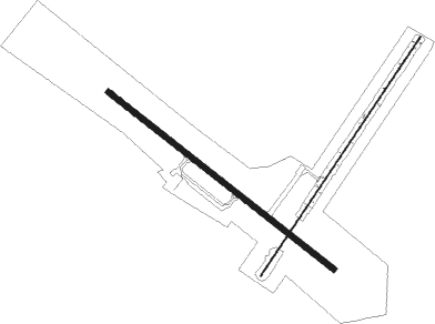
Runway info
Runway 15 / 33  | ||
| length | 1220m (4003ft) | |
| bearing | 123° / 303° | |
| width | 23m (75ft) | |
| surface | asphalt | |
| Runway 06 / 24 | ||
| length | 1228m (4029ft) | |
| bearing | 48° / 228° | |
| width | 5m (17ft) | |
| surface | grass | |
| displ threshold | 0m (0ft) / 153m (502ft) | |
Nearby beacons
| code | identifier | dist | bearing | frequency |
|---|---|---|---|---|
| PNN | DME | 9.7 | 313° | 114.30 |
| MLT | MILLINOCKET VOR/DME | 46.3 | 292° | 117.90 |
| LNT | MILNOT (MILLINOCKET) NDB | 49.5 | 294° | 344 |
| HUL | DME | 51.6 | 342° | 116.10 |
| FC | FREDERICTON NDB | 59.1 | 53° | 326 |
Instrument approach procedures
| runway | airway (heading) | route (dist, bearing) |
|---|---|---|
| RW15 | DEJZU (122°) | DEJZU 3000ft |
| RW15 | GUTYE (143°) | GUTYE DEJZU (6mi, 197°) 3000ft |
| RW15 | JUNCA (106°) | JUNCA DEJZU (6mi, 77°) 3000ft |
| RNAV | DEJZU 3000ft AKMUY (6mi, 123°) 1900ft ZUVAR (3mi, 123°) 980ft KPNN (3mi, 121°) 313ft (4468mi, 124°) 1000ft DEJZU (4479mi, 304°) 3000ft DEJZU (turn) |
Disclaimer
The information on this website is not for real aviation. Use this data with the X-Plane flight simulator only! Data taken with kind consent from X-Plane 12 source code and data files. Content is subject to change without notice.