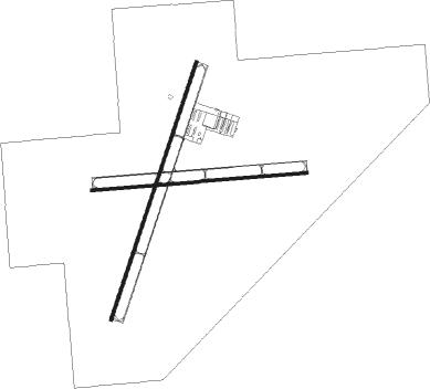
Portales - Portales Muni
Airport details
| Country | United States of America |
| State | New Mexico |
| Region | K2 |
| Airspace | Albuquerque Ctr |
| Municipality | Portales |
| Elevation | 4078ft (1243m) |
| Timezone | GMT -7 |
| Coordinates | 34.14547, -103.41033 |
| Magnetic var | |
| Type | land |
| Available since | X-Plane v10.40 |
| ICAO code | KPRZ |
| IATA code | n/a |
| FAA code | PRZ |
Communication
| Portales Muni AWOS 3 | 118.175 |
| Portales Muni CTAF/UNICOM | 122.800 |
Nearby Points of Interest:
Administration Building
-Portales Main Post Office
-Blackwater Draw archaeological site
-Clovis Depot
-Old Clovis Post Office
-Clovis Central Fire Station
-1908 Clovis City Hall and Fire Station
-Curry County Courthouse
-Clovis Baptist Hospital
-Hillcrest Park Archway
-Midway Service Station

Nearby beacons
| code | identifier | dist | bearing | frequency |
|---|---|---|---|---|
| CVS | CANNON (CLOVIS) TACAN | 14.7 | 21° | 111.60 |
| CV | HISAN (CLOVIS) NDB | 17 | 49° | 335 |
| TXO | TEXICO VORTAC | 35.2 | 59° | 112.20 |
Instrument approach procedures
| runway | airway (heading) | route (dist, bearing) |
|---|---|---|
| RW01 | CURIB (45°) | CURIB DEYAC (19mi, 43°) 7200ft ECERI (10mi, 69°) 6300ft |
| RW01 | ECERI (27°) | ECERI 6300ft |
| RW01 | KEBYO (266°) | KEBYO JELAT (20mi, 228°) 6700ft ECERI (5mi, 289°) 6300ft |
| RNAV | ECERI 6300ft FELIB (6mi, 27°) 6000ft KPRZ (6mi, 28°) 4118ft (6070mi, 108°) 4478ft ECERI (6076mi, 288°) 6300ft ECERI (turn) |
Disclaimer
The information on this website is not for real aviation. Use this data with the X-Plane flight simulator only! Data taken with kind consent from X-Plane 12 source code and data files. Content is subject to change without notice.