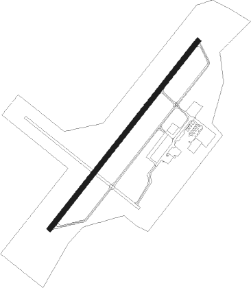
Petersburg - Dinwiddie County
Airport details
| Country | United States of America |
| State | Virginia |
| Region | K6 |
| Airspace | Washington Ctr |
| Municipality | Dinwiddie County |
| Elevation | 191ft (58m) |
| Timezone | GMT -5 |
| Coordinates | 37.18375, -77.50739 |
| Magnetic var | |
| Type | land |
| Available since | X-Plane v10.32 |
| ICAO code | KPTB |
| IATA code | PTB |
| FAA code | PTB |
Communication
| Dinwiddie County AWOS 3 | 133.325 |
| Dinwiddie County CTAF/UNICOM | 122.700 |
| Dinwiddie County POTOMAC Approach | 126.750 |
Approach frequencies
| LOC | RW05 | 110.3 | 18.00mi |
Nearby Points of Interest:
Wales
-Petersburg Breakthrough Battlefield
-Mansfield (Petersburg, Virginia)
-Central State Hospital Chapel
-Mayfield Cottage
-Burlington (Petersburg, Virginia)
-South Chappell Street Car Barn
-Battersea
-Commerce Street Industrial Historic District
-North Battersea-Pride's Field Historic District
-Virginia Trunk & Bag Company
-William McKenney House
-Vawter Hall and Old President's House
-Sutherland House (Petersburg, Virginia)
-Peabody Building of the Peabody-Williams School
-Stewart-Hinton House
-Atlantic Coast Line Railroad Commercial and Industrial Historic District
-Azurest South
-Thomas Wallace House
-South Market Street Historic District
-Strawberry Hill (Petersburg, Virginia)
-Petersburg Courthouse Historic District
-Petersburg City Hall
-Cohen House
-Appomattox Iron Works
Nearby beacons
| code | identifier | dist | bearing | frequency |
|---|---|---|---|---|
| HPW | HOPEWELL VORTAC | 20.6 | 70° | 112 |
| RIC | RICHMOND VORTAC | 21.1 | 30° | 114.10 |
| FAK | FLAT ROCK VORTAC | 25.7 | 317° | 113.30 |
| BKT | BLACKSTONE NDB | 25.9 | 264° | 326 |
| AKQ | WAKEFIELD NDB | 27 | 112° | 274 |
| LVL | LAWRENCEVILLE VORTAC | 29 | 227° | 112.90 |
| FKN | FRANKLIN VORTAC | 36.8 | 133° | 110.60 |
| HCM | HARCUM VORTAC | 41.2 | 72° | 108.80 |
| CVI | COFIELD VORTAC | 57.5 | 142° | 114.60 |
| GVE | GORDONSVILLE VORTAC | 58.5 | 322° | 115.60 |
Instrument approach procedures
| runway | airway (heading) | route (dist, bearing) |
|---|---|---|
| RW05 | LVL (47°) | LVL FASOS (18mi, 46°) 2000ft |
| RW05 | RIC (210°) | RIC FASOS (31mi, 217°) 2000ft FASOS (turn) 2000ft |
| RNAV | FASOS 2000ft RALOC (6mi, 49°) 1600ft NIYIP (3mi, 49°) 760ft KPTB (2mi, 49°) 235ft (4809mi, 116°) 497ft ONIKE (4803mi, 296°) 2000ft ONIKE (turn) | |
| RW23 | HPW (250°) | HPW ONIKE (11mi, 269°) 2000ft |
| RW23 | LVL (47°) | LVL ONIKE (40mi, 48°) 2000ft ONIKE (turn) 2000ft |
| RW23 | RIC (210°) | RIC ONIKE (11mi, 188°) 2000ft |
| RNAV | ONIKE 2000ft HITAN (6mi, 229°) 1800ft MUVIE (4mi, 229°) 640ft KPTB (2mi, 230°) 230ft (4809mi, 116°) 441ft FASOS (4815mi, 296°) 2000ft FASOS (turn) |
Disclaimer
The information on this website is not for real aviation. Use this data with the X-Plane flight simulator only! Data taken with kind consent from X-Plane 12 source code and data files. Content is subject to change without notice.