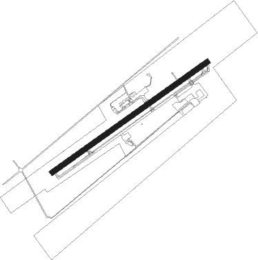
Patterson - Harry P Williams Mem
Airport details
| Country | United States of America |
| State | Louisiana |
| Region | K4 |
| Municipality | St. Mary Parish |
| Elevation | 5ft (2m) |
| Timezone | GMT -6 |
| Coordinates | 29.70955, -91.33897 |
| Magnetic var | |
| Type | land |
| Available since | X-Plane v10.40 |
| ICAO code | KPTN |
| IATA code | PTN |
| FAA code | PTN |
Communication
| HARRY P WILLIAMS MEM AWOS 3 | 134.575 |
| HARRY P WILLIAMS MEM CTAF/UNICOM | 122.800 |
| HARRY P WILLIAMS MEM NEW ORLEANS Approach/Departure | 124.300 |
Approach frequencies
| ILS-cat-I | RW24 | 108.3 | 18.00mi |
| 3° GS | RW24 | 108.3 | 18.00mi |
Nearby Points of Interest:
Calumet Plantation House
-Atkinson Memorial Presbyterian Church
-Arlington Plantation House
-Oaklawn Manor
-St. Mary's Episcopal Church
-Gibson Methodist Episcopal Church
-Albania Plantation House
-LeJeune's Bakery
-Madewood Plantation House
-Bayside
-St. Elizabeth Catholic Church
-Belle Alliance Plantation
-Ducros Plantation
-Percy-Lobdell Building
-Ardoyne Plantation House
-Vives House
-Armitage
-Dansereau House
-St. Emma Plantation
-Bank of Lafourche Building
-Rienzi Plantation House
-Riviere House
-Peltier House
-Polmer Store
-St. George Plantation House
Nearby beacons
| code | identifier | dist | bearing | frequency |
|---|---|---|---|---|
| TBD | TIBBY (THIBODAUX) VOR/DME | 26.7 | 95° | 112 |
| LFT | LAFAYETTE VORTAC | 44.7 | 307° | 109.80 |
| RQR | RESERVE VOR/DME | 45.1 | 63° | 110.80 |
| LF | LAFFS (LAFARETTE) NDB | 45.6 | 316° | 375 |
| BNZ | ABBEVILLE NDB | 45.9 | 294° | 230 |
| LSU | FIGHTING TIGER (BATON ROU VORTAC | 46.6 | 3° | 116.50 |
| MS | KINTE (NEW ORLEANS) NDB | 52.4 | 71° | 338 |
| BT | RUNDI (BATON ROUGE) NDB | 52.8 | 8° | 284 |
| HP | ANGER (HAMMOND) NDB | 71.9 | 46° | 212 |
Instrument approach procedures
| runway | airway (heading) | route (dist, bearing) |
|---|---|---|
| RW06 | FANAG (63°) | FANAG 1600ft |
| RW06 | ORICH (80°) | ORICH FANAG (5mi, 124°) 1600ft |
| RW06 | TBD (275°) | TBD PANPE (34mi, 259°) 1600ft FANAG (5mi, 326°) 1600ft |
| RNAV | FANAG 1600ft HADUG (6mi, 62°) 1600ft KPTN (5mi, 63°) 52ft (5475mi, 108°) 409ft GRICE (5465mi, 288°) 1700ft GRICE (turn) | |
| RW24 | DONBE (217°) | DONBE HONAX (19mi, 200°) 1700ft |
| RW24 | HONAX (242°) | HONAX 1700ft |
| RW24 | TBD (275°) | TBD HONAX (18mi, 296°) 1700ft |
| RW24 | WOVON (181°) | WOVON HONAX (22mi, 150°) 1700ft |
| RNAV | HONAX 1700ft UHAUL (7mi, 243°) 1700ft JISPA (4mi, 242°) 560ft KPTN (2mi, 240°) 58ft (5475mi, 108°) 208ft FANAG (5485mi, 288°) 2000ft FANAG (turn) |
Disclaimer
The information on this website is not for real aviation. Use this data with the X-Plane flight simulator only! Data taken with kind consent from X-Plane 12 source code and data files. Content is subject to change without notice.