Pratt - Pratt Regl
Airport details
| Country | United States of America |
| State | Kansas |
| Region | K3 |
| Airspace | Kansas City Ctr |
| Municipality | Pratt |
| Elevation | 1952ft (595m) |
| Timezone | GMT -5 |
| Coordinates | 37.70253, -98.74700 |
| Magnetic var | |
| Type | land |
| Available since | X-Plane v10.40 |
| ICAO code | KPTT |
| IATA code | PTT |
| FAA code | PTT |
Communication
| Pratt Regl AWOS 3 | 118.725 |
| Pratt Regl CTAF/UNICOM | 122.800 |
Nearby Points of Interest:
Hotel Roberts
-Stafford Reformed Presbyterian Church
-Stafford First United Methodist Church
-Kingman County Courthouse
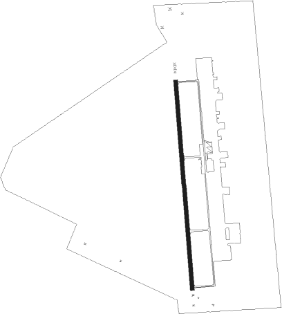
Runway info
| Runway 17 / 35 | ||
| length | 1679m (5509ft) | |
| bearing | 180° / 360° | |
| width | 30m (100ft) | |
| surface | asphalt | |
Nearby beacons
| code | identifier | dist | bearing | frequency |
|---|---|---|---|---|
| GB | BABSY NDB | 33.3 | 349° | 419 |
| HUT | HUTCHINSON VOR/DME | 42.4 | 70° | 116.80 |
| ANY | ANTHONY TACAN | 42.6 | 133° | 112.90 |
| HU | SALTT (HUTCHINSON) NDB | 46.3 | 63° | 404 |
Instrument approach procedures
| runway | airway (heading) | route (dist, bearing) |
|---|---|---|
| RW17 | ORLIE (180°) | ORLIE 4300ft |
| RW17 | PONPE (209°) | PONPE 4300ft ORLIE (5mi, 270°) 4300ft |
| RW17 | WUTAB (151°) | WUTAB 4300ft ORLIE (5mi, 90°) 4300ft |
| RNAV | ORLIE 4300ft HOVNO (6mi, 180°) 3600ft KPTT (5mi, 180°) 1991ft ZUSKI (12mi, 180°) 4300ft ZUSKI (turn) | |
| RW35 | KODLE (28°) | KODLE 4300ft ZUSKI (5mi, 90°) 4300ft |
| RW35 | NAKME (331°) | NAKME 4300ft ZUSKI (5mi, 270°) 4300ft |
| RW35 | ZUSKI (360°) | ZUSKI 4300ft |
| RNAV | ZUSKI 4300ft LEYDE (6mi, 360°) 3600ft CONVA (3mi, 360°) 2620ft KPTT (2mi, 360°) 1985ft ORLIE (11mi, 360°) 4300ft ORLIE (turn) |
Disclaimer
The information on this website is not for real aviation. Use this data with the X-Plane flight simulator only! Data taken with kind consent from X-Plane 12 source code and data files. Content is subject to change without notice.