Price - Carbon Co
Airport details
| Country | United States of America |
| State | Utah |
| Region | K2 |
| Airspace | Salt Lake City Ctr |
| Municipality | Carbon County |
| Elevation | 5957ft (1816m) |
| Timezone | GMT -7 |
| Coordinates | 39.61392, -110.75144 |
| Magnetic var | |
| Type | land |
| Available since | X-Plane v10.40 |
| ICAO code | KPUC |
| IATA code | PUC |
| FAA code | PUC |
Communication
| CARBON CO ASOS | 135.425 |
| CARBON CO CTAF/UNICOM | 122.800 |
Approach frequencies
| ILS-cat-I | RW01 | 109.35 | 18.00mi |
| 3° GS | RW01 | 109.35 | 18.00mi |
Nearby Points of Interest:
U.S. Post Office-Price Main
-Parker and Weeter Block
-Helper Commercial District
-U.S. Post Office-Helper Main
-Cleveland-Lloyd Dinosaur Quarry
-Castle Dale School
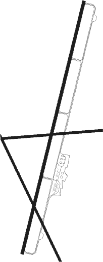
Runway info
Runway 1 / 19  | ||
| length | 2537m (8323ft) | |
| bearing | 23° / 203° | |
| width | 30m (100ft) | |
| surface | asphalt | |
| Runway 15 / 33 | ||
| length | 1379m (4524ft) | |
| bearing | 153° / 333° | |
| width | 23m (75ft) | |
| surface | asphalt | |
| Runway 8 / 26 | ||
| length | 969m (3179ft) | |
| bearing | 90° / 270° | |
| width | 23m (75ft) | |
| surface | asphalt | |
| blast zone | 0m (0ft) / 68m (223ft) | |
Nearby beacons
| code | identifier | dist | bearing | frequency |
|---|---|---|---|---|
| PUC | CARBON (PRICE) VOR/DME | 0.6 | 191° | 115.50 |
| MTU | MYTON VOR/DME | 43.1 | 49° | 112.70 |
| PVU | PROVO VOR/DME | 57.4 | 302° | 108.40 |
Instrument approach procedures
| runway | airway (heading) | route (dist, bearing) |
|---|---|---|
| RW01 | ADIBE (358°) | ADIBE SAROE (19mi, 341°) 8900ft |
| RW01 | COPUK (287°) | COPUK SAROE (17mi, 249°) 8900ft SAROE (turn) 8900ft |
| RW01 | PUC (11°) | PUC SAROE (12mi, 204°) 8900ft SAROE (turn) 8900ft |
| RNAV | SAROE 8900ft JESKI (7mi, 23°) 7500ft KPUC (6mi, 23°) 5866ft (6356mi, 110°) 6300ft FOSOV (6359mi, 290°) 10000ft FOSOV (turn) 10000ft |
Disclaimer
The information on this website is not for real aviation. Use this data with the X-Plane flight simulator only! Data taken with kind consent from X-Plane 12 source code and data files. Content is subject to change without notice.