Plentywood - Sher Wood
Airport details
| Country | United States of America |
| State | Montana |
| Region | K1 |
| Airspace | Salt Lake City Ctr |
| Municipality | Sheridan County |
| Elevation | 2250ft (686m) |
| Timezone | GMT -7 |
| Coordinates | 48.78900, -104.52297 |
| Magnetic var | |
| Type | land |
| Available since | X-Plane v10.40 |
| ICAO code | KPWD |
| IATA code | PWD |
| FAA code | PWD |
Communication
| SHER WOOD WX AWOS-AV | 135.025 |
| SHER WOOD CTAF/UNICOM | 122.800 |
Nearby Points of Interest:
Alkabo School
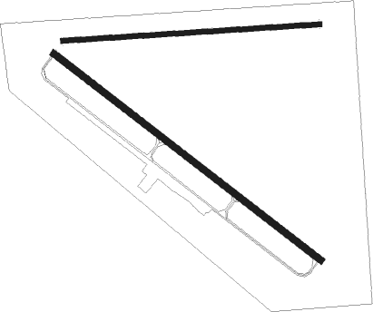
Runway info
Runway 12 / 30  | ||
| length | 1184m (3885ft) | |
| bearing | 121° / 301° | |
| width | 23m (75ft) | |
| surface | asphalt | |
| Runway 08 / 26 | ||
| length | 902m (2959ft) | |
| bearing | 91° / 271° | |
| width | 18m (60ft) | |
| surface | grass | |
Nearby beacons
| code | identifier | dist | bearing | frequency |
|---|---|---|---|---|
| ISN | WILLISTON VOR/DME | 44.4 | 125° | 116.30 |
Instrument approach procedures
| runway | airway (heading) | route (dist, bearing) |
|---|---|---|
| RW12 | ISN (305°) | ISN WODOS (54mi, 303°) 4000ft WODOS (turn) 4000ft |
| RW12 | NEGAE (69°) | NEGAE ATEYA (66mi, 60°) 4400ft WODOS (7mi, 88°) 4000ft |
| RW12 | RILMY (29°) | RILMY WODOS (44mi, 12°) 4200ft WODOS (turn) 4000ft |
| RNAV | WODOS 4000ft OWFEW (4mi, 109°) 3900ft IHHIB (3mi, 121°) 3020ft KPWD (3mi, 120°) 2296ft (5976mi, 115°) 2567ft BEYYA (5969mi, 295°) 5000ft BEYYA (turn) | |
| RW30 | ISN (305°) | ISN BEYYA (32mi, 306°) 5000ft |
| RW30 | RILMY (29°) | RILMY BEYYA (38mi, 50°) 5000ft |
| RNAV | BEYYA 5000ft QUDUC (7mi, 301°) 3900ft LOTNE (3mi, 301°) 2900ft KPWD (2mi, 302°) 2272ft (5976mi, 115°) 2900ft BEYYA (5969mi, 295°) 5000ft BEYYA (turn) |
Disclaimer
The information on this website is not for real aviation. Use this data with the X-Plane flight simulator only! Data taken with kind consent from X-Plane 12 source code and data files. Content is subject to change without notice.