Piedmont - Piedmont Muni
Airport details
| Country | United States of America |
| State | Missouri |
| Region | K3 |
| Airspace | Memphis Ctr |
| Municipality | Piedmont |
| Elevation | 466ft (142m) |
| Timezone | GMT -6 |
| Coordinates | 37.12614, -90.71353 |
| Magnetic var | |
| Type | land |
| Available since | X-Plane v10.40 |
| ICAO code | KPYN |
| IATA code | n/a |
| FAA code | PYN |
Communication
| Piedmont Muni AWOS 3 | 118.475 |
| Piedmont Muni CTAF/UNICOM | 122.800 |
Nearby Points of Interest:
Big Spring Historic District
-Reed Log House
-Alfred W. Greer House
-Williams-Gierth House
-Thomas Moore House
-Moore-Dalton House
-Rodgers Theatre
-John Archibald Phillips House
-Butler County Courthouse
-Wright-Dalton-Bell-Anchor Department Store Building
-St. Louis-San Francisco Railroad Depot
-J. Herbert Moore House
-Iron County Courthouse
-Ironton Lodge Hall
-St. Paul's Episcopal Church
-Immanuel Evangelical Lutheran Church (Pilot Knob, Missouri)
-Fort Davidson
-Randolph Columbus Barrett House
-Ripley County Courthouse
-Ripley County Jail, Sheriff's Office and Sheriff's Residence
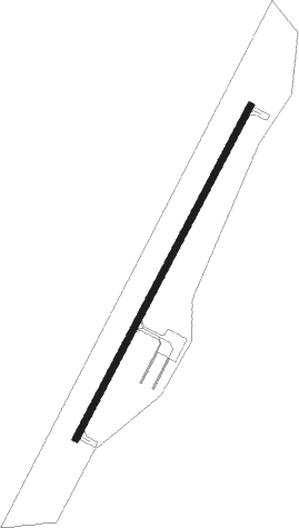
Runway info
| Runway 3 / 21 | ||
| length | 1007m (3304ft) | |
| bearing | 38° / 218° | |
| width | 18m (60ft) | |
| surface | asphalt | |
Nearby beacons
| code | identifier | dist | bearing | frequency |
|---|---|---|---|---|
| FAM | FARMINGTON VORTAC | 40 | 41° | 115.70 |
| MAW | MALDEN VORTAC | 51.5 | 125° | 111.20 |
| TNZ | LAWRENCE COUNTY (WALNUT RIDGE) NDB | 56.1 | 193° | 227 |
Disclaimer
The information on this website is not for real aviation. Use this data with the X-Plane flight simulator only! Data taken with kind consent from X-Plane 12 source code and data files. Content is subject to change without notice.