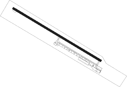
Port Aransas - Mustang Beach
Airport details
| Country | United States of America |
| State | Texas |
| Region | K4 |
| Airspace | Houston Oceanic Ctr |
| Municipality | Port Aransas |
| Elevation | 0ft (0m) |
| Timezone | GMT -6 |
| Coordinates | 27.81183, -97.08875 |
| Magnetic var | |
| Type | land |
| Available since | X-Plane v10.40 |
| ICAO code | KRAS |
| IATA code | n/a |
| FAA code | RAS |
Communication
| Mustang Beach AWOS-3 | 118.425 |
| Mustang Beach CTAF | 122.900 |
| Mustang Beach CORPUS Approach/Departure | 125.400 |
Nearby Points of Interest:
Novillo Line Camp
Nearby beacons
| code | identifier | dist | bearing | frequency |
|---|---|---|---|---|
| NGP | TRUAX (CORPUS CHRISTI) TACAN | 13.2 | 239° | 114 |
| CRP | CORPUS CHRISTI VORTAC | 19.6 | 284° | 115.50 |
| NQI | KINGSVILLE TACAN | 42.5 | 246° | 117.80 |
| ALI | ALICE VOR | 49.7 | 266° | 114.50 |
| NOG | ORANGE GROVE TACAN | 50.8 | 275° | 133.60 |
| PSX | PALACIOS VORTAC | 70.6 | 39° | 117.30 |
Disclaimer
The information on this website is not for real aviation. Use this data with the X-Plane flight simulator only! Data taken with kind consent from X-Plane 12 source code and data files. Content is subject to change without notice.