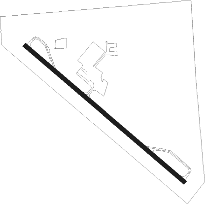
Robstown - Nueces County Airpark
Airport details
| Country | United States of America |
| State | Texas |
| Region | K4 |
| Airspace | Houston Oceanic Ctr |
| Municipality | Robstown |
| Elevation | 79ft (24m) |
| Timezone | GMT -6 |
| Coordinates | 27.77814, -97.69011 |
| Magnetic var | |
| Type | land |
| Available since | X-Plane v11.50 |
| ICAO code | KRBO |
| IATA code | n/a |
| FAA code | RBO |
Communication
| Nueces County Airpark CTAF | 129.900 |
Nearby Points of Interest:
John B. Ragland Mercantile Company Building
-King Ranch
-Novillo Line Camp
Nearby beacons
| code | identifier | dist | bearing | frequency |
|---|---|---|---|---|
| CRP | CORPUS CHRISTI VORTAC | 15 | 63° | 115.50 |
| ALI | ALICE VOR | 17.7 | 263° | 114.50 |
| NQI | KINGSVILLE TACAN | 17.8 | 202° | 117.80 |
| NOG | ORANGE GROVE TACAN | 20 | 288° | 133.60 |
| NGP | TRUAX (CORPUS CHRISTI) TACAN | 21.7 | 103° | 114 |
| THX | THREE RIVERS VORTAC | 49.9 | 328° | 111.40 |
| EOC | COYOTE (ENCINO) NDB | 62.3 | 210° | 232 |
Instrument approach procedures
| runway | airway (heading) | route (dist, bearing) |
|---|---|---|
| RW13 | ATHIS (153°) | ATHIS ELELY (10mi, 176°) 2000ft |
| RW13 | CRP (243°) | CRP ELELY (20mi, 269°) 2000ft ELELY (turn) 2000ft |
| RNAV | ELELY 2000ft INBEW (5mi, 132°) 1700ft MATSS (3mi, 132°) 720ft KRBO (2mi, 132°) 120ft (5814mi, 106°) 540ft ELELY (5820mi, 286°) 2000ft ELELY (turn) | |
| RW31 | ATHIS (153°) | ATHIS VAPPR (31mi, 145°) 2200ft VAPPR (turn) 2200ft |
| RW31 | CRP (243°) | CRP VAPPR (17mi, 197°) 2200ft VAPPR (turn) 2200ft |
| RNAV | VAPPR 2200ft KIKRE (4mi, 312°) 2200ft NARRW (3mi, 312°) 1700ft JIGGL (1mi, 312°) 1320ft KRBO (4mi, 312°) 117ft (5814mi, 106°) 329ft ELELY (5820mi, 286°) 2000ft ELELY (turn) |
Disclaimer
The information on this website is not for real aviation. Use this data with the X-Plane flight simulator only! Data taken with kind consent from X-Plane 12 source code and data files. Content is subject to change without notice.