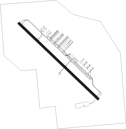
Rapid City - Ellsworth Afb
Airport details
| Country | United States of America |
| State | South Dakota |
| Region | K3 |
| Airspace | Denver Ctr |
| Municipality | Meade County |
| Elevation | 3277ft (999m) |
| Timezone | GMT -7 |
| Coordinates | 44.14510, -103.10357 |
| Magnetic var | |
| Type | land |
| Available since | X-Plane v10.40 |
| ICAO code | KRCA |
| IATA code | RCA |
| FAA code | RCA |
Communication
| ELLSWORTH AFB ATIS | 120.625 |
| ELLSWORTH AFB Ground Control | 121.800 |
| ELLSWORTH AFB Tower | 126.050 |
| ELLSWORTH AFB Approach/Departure | 119.500 |
Approach frequencies
| ILS-cat-I | RW13 | 111.5 | 18.00mi |
| ILS-cat-I | RW31 | 110.3 | 18.00mi |
| 3.3° GS | RW13 | 111.5 | 18.00mi |
| 3° GS | RW31 | 110.3 | 18.00mi |
Nearby Points of Interest:
Pap Madison Cabin
-Pennington County Courthouse
-Milwaukee Road Freight House
-Rapid City Masonic Temple
-First Congregational Church
-Emmanuel Episcopal Church
-Dinosaur Park
-Hermosa Masonic Lodge
-Keystone School
-Mount Rushmore National Memorial
-Williams Middle School
-Bear Butte
-Black Elk Peak Lookout Tower
-Peter Norbeck Summer House
-Tomahawk Lake Country Club
-Needles
-Sunday Gulch Trail
Nearby beacons
| code | identifier | dist | bearing | frequency |
|---|---|---|---|---|
| RCA | ELLSWORTH (RAPID CITY) TACAN | 0.3 | 163° | 108.80 |
| RAP | RAPID CITY VORTAC | 10.8 | 152° | 112.30 |
Departure and arrival routes
| Transition altitude | 18000ft |
| Transition level | 18000ft |
| SID end points | distance | outbound heading | |
|---|---|---|---|
| RW13 | |||
| RCA3 | 34mi | 311° | |
| RW31 | |||
| RCA3 | 34mi | 311° | |
Disclaimer
The information on this website is not for real aviation. Use this data with the X-Plane flight simulator only! Data taken with kind consent from X-Plane 12 source code and data files. Content is subject to change without notice.