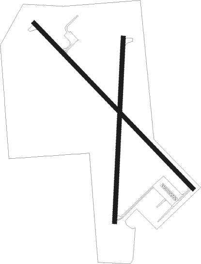
Ladysmith - Rusk County
Airport details
| Country | United States of America |
| State | Wisconsin |
| Region | K5 |
| Airspace | Minneapolis Ctr |
| Municipality | Town of Dewey |
| Elevation | 1238ft (377m) |
| Timezone | GMT -6 |
| Coordinates | 45.49659, -91.00018 |
| Magnetic var | |
| Type | land |
| Available since | X-Plane v10.40 |
| ICAO code | KRCX |
| IATA code | n/a |
| FAA code | RCX |
Communication
| Rusk County AWOS-3 | 118.125 |
| Rusk County CTAF | 122.800 |
Nearby Points of Interest:
Jump River Town Hall
-Flambeau Mission Church
-Z. C. B. J. Hall

Nearby beacons
| code | identifier | dist | bearing | frequency |
|---|---|---|---|---|
| RCX | RUSK COUNTY (LADYSMITH) NDB | 0.3 | 350° | 356 |
| RP | WICKR (RICE LAKE) NDB | 35.4 | 257° | 221 |
| HYR | DME | 36.5 | 319° | 113.40 |
| EAU | EAU CLAIRE VORTAC | 41.2 | 219° | 113.65 |
Instrument approach procedures
| runway | airway (heading) | route (dist, bearing) |
|---|---|---|
| RW14 | EKASE (130°) | EKASE 6000ft EKASE (turn) 5000ft |
| RNAV | EKASE 5000ft ZEBEM (8mi, 130°) 3000ft COMUL (4mi, 130°) 1820ft KRCX (2mi, 131°) 1281ft (5447mi, 117°) 1640ft FIMOG (5439mi, 297°) 5000ft FIMOG (turn) 5000ft | |
| RW32 | FIMOG (311°) | FIMOG 5000ft |
| RNAV | FIMOG 5000ft WUVRA (8mi, 311°) 3000ft KRCX (6mi, 310°) 1272ft (5447mi, 117°) 1477ft EKASE (5456mi, 297°) 5000ft EKASE (turn) |
Disclaimer
The information on this website is not for real aviation. Use this data with the X-Plane flight simulator only! Data taken with kind consent from X-Plane 12 source code and data files. Content is subject to change without notice.