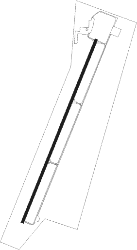
Richfield
Airport details
| Country | United States of America |
| State | Utah |
| Region | K2 |
| Airspace | Salt Lake City Ctr |
| Municipality | Richfield |
| Elevation | 5315ft (1620m) |
| Timezone | GMT -7 |
| Coordinates | 38.73411, -112.10159 |
| Magnetic var | |
| Type | land |
| Available since | X-Plane v10.40 |
| ICAO code | KRIF |
| IATA code | RIF |
| FAA code | RIF |
Communication
| Richfield AWOS 3 | 133.375 |
| Richfield CTAF/UNICOM | 122.800 |
Runway info
| Runway 1 / 19 | ||
| length | 2166m (7106ft) | |
| bearing | 33° / 213° | |
| width | 30m (100ft) | |
| surface | asphalt | |
Nearby beacons
| code | identifier | dist | bearing | frequency |
|---|---|---|---|---|
| DTA | DELTA VORTAC | 38.9 | 325° | 116.10 |
| MLF | MILFORD VORTAC | 48.3 | 248° | 112.10 |
| EHK | ENOCH VOR/DME | 72.8 | 226° | 117.30 |
Departure and arrival routes
| Transition altitude | 18000ft |
| Transition level | 18000ft |
| SID end points | distance | outbound heading | |
|---|---|---|---|
| RW01 | |||
| RIF2 | 39mi | 325° | |
| RW19 | |||
| HAMET3 | 22mi | 198° | |
Instrument approach procedures
| runway | airway (heading) | route (dist, bearing) |
|---|---|---|
| RW19 | DETAN (56°) | DETAN EBOVE (57mi, 52°) 12700ft EBOVE (turn) 12700ft |
| RW19 | DTA (145°) | DTA POOMA (23mi, 82°) 12700ft EBOVE (22mi, 143°) 12700ft |
| RW19 | HVE (283°) | HVE CLOEE (39mi, 315°) 12700ft EBOVE (28mi, 282°) 12700ft |
| RW19 | PUC (237°) | PUC ALESH (13mi, 242°) 12700ft EBOVE (45mi, 241°) 12700ft |
| RNAV | EBOVE 12700ft CETNA (15mi, 227°) 8200ft CENOB (6mi, 227°) 6340ft CEDBO (3mi, 227°) 5484ft (6429mi, 109°) 5718ft EMCUE (6438mi, 289°) GEERY (17mi, 264°) DETAN (13mi, 188°) 12000ft DETAN (turn) |
Disclaimer
The information on this website is not for real aviation. Use this data with the X-Plane flight simulator only! Data taken with kind consent from X-Plane 12 source code and data files. Content is subject to change without notice.
