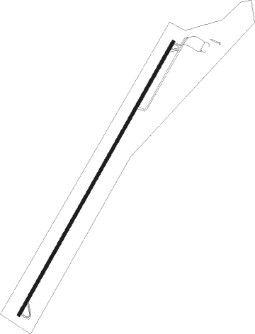
Window Rock
Airport details
| Country | United States of America |
| State | Arizona |
| Region | K2 |
| Airspace | Albuquerque Ctr |
| Municipality | Window Rock |
| Elevation | 6742ft (2055m) |
| Timezone | GMT -7 |
| Coordinates | 35.65205, -109.06739 |
| Magnetic var | |
| Type | land |
| Available since | X-Plane v10.40 |
| ICAO code | KRQE |
| IATA code | n/a |
| FAA code | RQE |
Communication
| WINDOW ROCK ASOS | 118.325 |
| WINDOW ROCK CTAF/UNICOM | 122.800 |
| WINDOW ROCK Albuquerque Center | 124.325 |
Nearby Points of Interest:
St. Michael's Mission
-Navajo Nation Council Chamber
-El Morro Theater
-Gallup Commercial Historic District
-United States Post Office
-Lebanon Lodge No. 22
-McKinley County Courthouse
-Drake Hotel
-Allentown Bridge
-Querino Canyon Bridge
-Hubbell Trading Post National Historic Site
Nearby beacons
| code | identifier | dist | bearing | frequency |
|---|---|---|---|---|
| GUP | GALLUP VORTAC | 14.2 | 132° | 115.10 |
| ZUN | ZUNI VORTAC | 41.4 | 187° | 113.40 |
Instrument approach procedures
| runway | airway (heading) | route (dist, bearing) |
|---|---|---|
| RW03 | FORAN (47°) | FORAN 9000ft HABON (10mi, 55°) 8900ft |
| RNAV | HABON 8900ft CONPO (6mi, 40°) 8700ft POMBE (2mi, 40°) 8000ft KRQE (4mi, 40°) 6738ft (6330mi, 108°) 7142ft FORAN (6347mi, 288°) 9600ft FORAN (turn) | |
| RWNVB | DERTY (248°) | DERTY JELIX (5mi, 288°) 10100ft WUDID (14mi, 273°) 10100ft |
| RWNVB | HUNVI (143°) | HUNVI WUDID (16mi, 116°) 10100ft |
| RNAV | WUDID 10100ft ROCLO (6mi, 185°) 9100ft KRQE (6mi, 188°) 8080ft (6330mi, 108°) 8080ft FORAN (6347mi, 288°) 9600ft FORAN (turn) |
Disclaimer
The information on this website is not for real aviation. Use this data with the X-Plane flight simulator only! Data taken with kind consent from X-Plane 12 source code and data files. Content is subject to change without notice.
