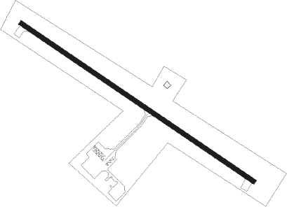
Rugby - Rugby Muni
Airport details
| Country | United States of America |
| State | North Dakota |
| Region | K3 |
| Airspace | Minneapolis Ctr |
| Municipality | Pierce County |
| Elevation | 1546ft (471m) |
| Timezone | GMT -6 |
| Coordinates | 48.39036, -100.02428 |
| Magnetic var | |
| Type | land |
| Available since | X-Plane v10.40 |
| ICAO code | KRUG |
| IATA code | n/a |
| FAA code | RUG |
Communication
| Rugby Muni CTAF/UNICOM | 122.800 |
Nearby Points of Interest:
Rugby Post Office
-Pierce County Courthouse
-St. Anselm's Cemetery, Wrought-Iron Cross Site
-Old Mt. Carmel Cemetery, Wrought-Iron Cross Site
-McHenry County Courthouse
Instrument approach procedures
| runway | airway (heading) | route (dist, bearing) |
|---|---|---|
| RW12 | BALTA (7°) | BALTA IROSE (20mi, 330°) 3200ft IROSE (turn) 3200ft |
| RW12 | MOT (84°) | MOT OKDUC (39mi, 79°) 3300ft IROSE (6mi, 68°) 3200ft |
| RNAV | IROSE 3200ft AXMAN (6mi, 118°) 2700ft KRUG (4mi, 118°) 1584ft (5804mi, 116°) 1900ft CUYAK (5800mi, 296°) BALTA (10mi, 227°) 3600ft BALTA (turn) | |
| RW30 | BALTA (7°) | BALTA ADUTE (10mi, 66°) 3200ft ADUTE (turn) 3200ft |
| RW30 | CAREW (295°) | CAREW ADUTE (14mi, 293°) 3200ft |
| RNAV | ADUTE 3200ft BANAW (6mi, 298°) 2700ft KRUG (4mi, 298°) 1599ft (5804mi, 116°) 1948ft IROSE (5811mi, 296°) 3200ft IROSE (turn) |
Disclaimer
The information on this website is not for real aviation. Use this data with the X-Plane flight simulator only! Data taken with kind consent from X-Plane 12 source code and data files. Content is subject to change without notice.