Rawlins - Rawlins Muni Harvey Field
Airport details
| Country | United States of America |
| State | Wyoming |
| Region | K1 |
| Airspace | Denver Ctr |
| Municipality | Carbon County |
| Elevation | 6812ft (2076m) |
| Timezone | GMT -7 |
| Coordinates | 41.80572, -107.20033 |
| Magnetic var | |
| Type | land |
| Available since | X-Plane v10.40 |
| ICAO code | KRWL |
| IATA code | RWL |
| FAA code | RWL |
Communication
| Rawlins Muni Harvey Field ASOS | 118.525 |
| Rawlins Muni Harvey Field CTAF/UNICOM | 123.000 |
Nearby Points of Interest:
Rawlins Residential Historic District
-Downtown Rawlins Historic District
-Wyoming State Penitentiary
-Parco Historic District
-Bridger Pass
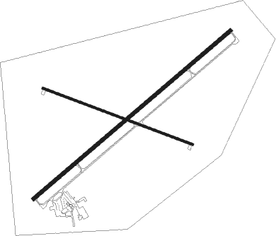
Runway info
Runway 4 / 22  | ||
| length | 2134m (7001ft) | |
| bearing | 62° / 242° | |
| width | 30m (98ft) | |
| surface | asphalt | |
| Runway 10 / 28 | ||
| length | 1315m (4314ft) | |
| bearing | 109° / 289° | |
| width | 18m (59ft) | |
| surface | asphalt | |
Nearby beacons
| code | identifier | dist | bearing | frequency |
|---|---|---|---|---|
| CKW | CHEROKEE VOR/DME | 17.3 | 263° | 115 |
| SAA | SARATOGA NDB | 27.2 | 134° | 266 |
Instrument approach procedures
| runway | airway (heading) | route (dist, bearing) |
|---|---|---|
| RW22 | ARFEJ (183°) | ARFEJ FIKLA (17mi, 136°) 10100ft |
| RW22 | CKW (83°) | CKW FIKLA (30mi, 74°) 10100ft FIKLA (turn) 10100ft |
| RW22 | KLASH (297°) | KLASH CEXIT (14mi, 343°) 10100ft FIKLA (10mi, 316°) 10100ft |
| RNAV | FIKLA 10100ft HESNU (7mi, 242°) 8800ft KRWL (7mi, 242°) 6870ft (6170mi, 111°) 7131ft EFWOV (6174mi, 291°) CKW (14mi, 268°) 11700ft CKW (turn) |
Disclaimer
The information on this website is not for real aviation. Use this data with the X-Plane flight simulator only! Data taken with kind consent from X-Plane 12 source code and data files. Content is subject to change without notice.