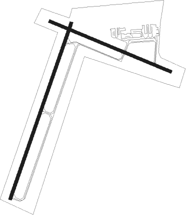
Sidney - Sidney Richland Muni
Airport details
| Country | United States of America |
| State | Montana |
| Region | K1 |
| Airspace | Salt Lake City Ctr |
| Municipality | Richland County |
| Elevation | 1982ft (604m) |
| Timezone | GMT -7 |
| Coordinates | 47.70686, -104.19256 |
| Magnetic var | |
| Type | land |
| Available since | X-Plane v10.40 |
| ICAO code | KSDY |
| IATA code | SDY |
| FAA code | SDY |
Communication
| Sidney Richland Muni AWOS 3 | 119.275 |
| Sidney Richland Muni CTAF/UNICOM | 122.800 |
Nearby Points of Interest:
Peoples' Congregational Church

Nearby beacons
| code | identifier | dist | bearing | frequency |
|---|---|---|---|---|
| ISN | WILLISTON VOR/DME | 37.3 | 39° | 116.30 |
| GDV | DME | 42.4 | 227° | 114.35 |
Instrument approach procedures
| runway | airway (heading) | route (dist, bearing) |
|---|---|---|
| RW01 | CATUM (34°) | CATUM 4600ft |
| RW01 | EXADE (73°) | EXADE CATUM (10mi, 106°) 4600ft |
| RNAV | CATUM 4600ft BOSPE (6mi, 33°) 3700ft JUNEG (3mi, 33°) 2880ft KSDY (3mi, 35°) 2028ft (5976mi, 115°) 2238ft HAKET (5969mi, 295°) 4600ft HAKET (turn) | |
| RW19 | GINBE (223°) | GINBE HAKET (10mi, 233°) 4600ft |
| RW19 | LAMBE (109°) | LAMBE HAKET (13mi, 66°) 4600ft HAKET (turn) 4600ft |
| RNAV | HAKET 4600ft FANIX (6mi, 213°) 3700ft OKAGE (3mi, 213°) 2820ft KSDY (3mi, 211°) 2022ft (5976mi, 115°) 2360ft CATUM (5982mi, 294°) 4600ft CATUM (turn) |
Disclaimer
The information on this website is not for real aviation. Use this data with the X-Plane flight simulator only! Data taken with kind consent from X-Plane 12 source code and data files. Content is subject to change without notice.