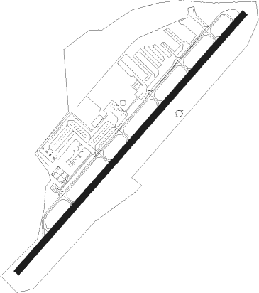
Sedona
Airport details
| Country | United States of America |
| State | Arizona |
| Region | K2 |
| Airspace | Albuquerque Ctr |
| Municipality | Sedona |
| Elevation | 4830ft (1472m) |
| Timezone | GMT -7 |
| Coordinates | 34.84858, -111.78844 |
| Magnetic var | |
| Type | land |
| Available since | X-Plane v10.40 |
| ICAO code | KSEZ |
| IATA code | SDX |
| FAA code | SEZ |
Communication
| Sedona AWOS | 118.525 |
| Sedona CTAF/UNICOM | 123.000 |
| Sedona APCH/Departure Phoenix TRACON | 126.375 |
Nearby Points of Interest:
Sedona
-Sedona Ranger Station
-Slide Rock State Park
-Beaver Creek Ranger Station
-Tuzigoot Museum
-Willard House (Cottonwood, Arizona)
-Building at 826 North Main Street
-Master Mechanic's House
-Clarkdale Historic District
-Jerome Historic District
-Woody Mountain Lookout Tower
-Mingus Lookout Complex
-Clear Creek Church
-Riordan Mansion State Historic Park
-Flagstaff Armory
-Flagstaff Southside Historic District
-Our Lady of Guadaloupe Church
-Railroad Addition Historic District
-Flagstaff Townsite Historic Residential District
-Presbyterian Church Parsonage
-Flagstaff
-Volunteer Lookout Cabin
-Cliffs Ranger Station
-Barney Flat Historic Railroad Logging Landscape
-Strawberry Schoolhouse
Nearby beacons
| code | identifier | dist | bearing | frequency |
|---|---|---|---|---|
| FLG | FLAGSTAFF VOR/DME | 18.7 | 21° | 113.85 |
| DRK | DRAKE (PRESCOTT) VORTAC | 35.2 | 258° | 114.10 |
| PAN | DME | 42.1 | 143° | 116.35 |
| INW | WINSLOW VORTAC | 50.5 | 78° | 112.60 |
Disclaimer
The information on this website is not for real aviation. Use this data with the X-Plane flight simulator only! Data taken with kind consent from X-Plane 12 source code and data files. Content is subject to change without notice.