Sheldon - Sheldon Regl
Airport details
| Country | United States of America |
| State | Iowa |
| Region | K3 |
| Airspace | Minneapolis Ctr |
| Municipality | O'Brien County |
| Elevation | 1417ft (432m) |
| Timezone | GMT -6 |
| Coordinates | 43.20839, -95.83342 |
| Magnetic var | |
| Type | land |
| Available since | X-Plane v10.40 |
| ICAO code | KSHL |
| IATA code | n/a |
| FAA code | SHL |
Communication
| Sheldon Regl AWOS 3 | 119.775 |
| Sheldon Regl CTAF/UNICOM | 122.800 |
Nearby Points of Interest:
Carnegie Library
-O'Brien County Courthouse
-Osceola County Courthouse
-Sioux County Courthouse
-Zwemer Hall, Northwestern College
-Melan Bridge
-Lyon County Courthouse
-Burlington, Cedar Rapids, and Northern Railroad-Rock Rapids Station, Railroad Track and Bridge
-Reeves Farmstead Historic District
-Tonsfeldt Round Barn
-Le Mars Downtown Commercial Historic District
-Plymouth County Courthouse
-Le Mars Public Library
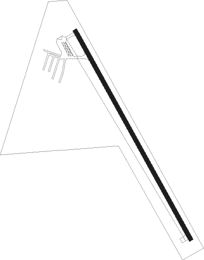
Runway info
| Runway 15 / 33 | ||
| length | 1281m (4203ft) | |
| bearing | 148° / 328° | |
| width | 23m (75ft) | |
| surface | concrete | |
Nearby beacons
| code | identifier | dist | bearing | frequency |
|---|---|---|---|---|
| SP | SNORE (SPENCER) NDB | 22.1 | 87° | 394 |
| SPW | SPENCER VOR/DME | 27.8 | 94° | 110 |
| OTG | WORTHINGTON VOR/DME | 28.5 | 30° | 110.60 |
| OT | WONDD (WORTHINGTON) NDB | 29.3 | 42° | 277 |
| FS | ROKKY (SIOUX FALLS) NDB | 46.7 | 286° | 245 |
| FSD | SIOUX FALLS VORTAC | 49 | 295° | 115 |
| OI | TOMMI (SIOUX CITY) NDB | 52.7 | 220° | 305 |
| SUX | SIOUX CITY TACAN | 56.2 | 210° | 116.50 |
| SU | SALIX (SOUIX CITY) NDB | 56.6 | 207° | 414 |
Instrument approach procedures
| runway | airway (heading) | route (dist, bearing) |
|---|---|---|
| RW15 | BILOO (225°) | BILOO TEGKU (12mi, 269°) 4000ft RINOC (6mi, 226°) 4000ft |
| RW15 | CATID (120°) | CATID RINOC (11mi, 96°) 4000ft |
| RW15 | NEWRN (208°) | NEWRN RINOC (10mi, 314°) 4000ft RINOC (turn) 4000ft |
| RW15 | OTG (210°) | OTG TEGKU (16mi, 236°) 4000ft RINOC (6mi, 226°) 4000ft |
| RNAV | RINOC 4000ft ECELI (6mi, 148°) 3100ft ZESOR (3mi, 148°) 2000ft KSHL (2mi, 148°) 1459ft (5660mi, 114°) 1669ft TUDUC (5656mi, 294°) 4000ft TUDUC (turn) | |
| RW33 | COPYE (30°) | COPYE WOREB (6mi, 93°) 4000ft TUDUC (6mi, 59°) 4000ft |
| RW33 | NEWRN (208°) | NEWRN TUDUC (13mi, 159°) 4000ft TUDUC (turn) 4000ft |
| RW33 | RITTA (292°) | RITTA TUDUC (16mi, 273°) 4000ft |
| RNAV | TUDUC 4000ft ZOLUS (6mi, 328°) 3000ft YEPUL (3mi, 328°) 2020ft KSHL (2mi, 328°) 1457ft (5660mi, 114°) 1696ft RINOC (5664mi, 294°) 4000ft RINOC (turn) |
Disclaimer
The information on this website is not for real aviation. Use this data with the X-Plane flight simulator only! Data taken with kind consent from X-Plane 12 source code and data files. Content is subject to change without notice.