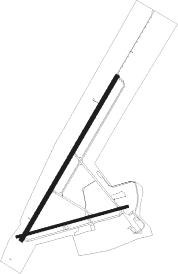
Saranac Lake - Adirondack Rgnl
Airport details
| Country | United States of America |
| State | New York |
| Region | K6 |
| Airspace | Boston Ctr |
| Municipality | Town of Harrietstown |
| Elevation | 1663ft (507m) |
| Timezone | GMT -5 |
| Coordinates | 44.38531, -74.20618 |
| Magnetic var | |
| Type | land |
| Available since | X-Plane v10.30 |
| ICAO code | KSLK |
| IATA code | SLK |
| FAA code | SLK |
Communication
| Adirondack Rgnl ASOS | 124.175 |
| Adirondack Rgnl CTAF/UNICOM | 123.000 |
Approach frequencies
| ILS-cat-I | RW23 | 108.9 | 18.00mi |
| 3.2° GS | RW23 | 108.9 | 18.00mi |
Nearby Points of Interest:
Hillside Lodge
-Camp Intermission
-Brighton Town Hall
-Ellenberger Cottage
-Denny Cottage
-Camp Topridge
-Hathaway Cottage
-Radwell Cottage
-Cottage Row Historic District
-Adirondack Cottage Sanitarium
-Walker Cottage
-Little Red
-Feisthamel-Edelberg Cottage
-Larom-Welles Cottage
-Feustmann Cottage
-McBean Cottage
-Barngalow
-Morgan Cottage
-Wilson Cottage
-Larom Cottage
-Highland Park Historic District
-Leis Cottage
-Orin Savage Cottage
-Seeley Cottage
-Stevenson Cottage

Nearby beacons
| code | identifier | dist | bearing | frequency |
|---|---|---|---|---|
| SLK | LAKE DME | 0 | 114° | 109.20 |
| PTD | POTSDAM NDB | 35.3 | 297° | 400 |
| MSS | MASSENA TACAN | 38.6 | 316° | 114.10 |
| MS | MISSE (MASSENA) NDB | 41.3 | 303° | 278 |
| BT | HERRO (BURLINGTON) NDB | 41.9 | 81° | 382 |
| YJN | DME | 64.4 | 45° | 115.80 |
Instrument approach procedures
| runway | airway (heading) | route (dist, bearing) |
|---|---|---|
| RW05 | CHANY (71°) | CHANY MREEE (9mi, 104°) 5400ft |
| RW05 | GNVEV (8°) | GNVEV MREEE (9mi, 310°) 5400ft |
| RW05 | MREEE (44°) | MREEE 5400ft |
| RNAV | MREEE 5400ft INGRD (7mi, 44°) 3700ft ELLAA (2mi, 44°) 2940ft KSLK (4mi, 45°) 1675ft (4732mi, 121°) 2063ft MUNZA (4739mi, 301°) 6000ft MUNZA (turn) 6000ft | |
| RW09 | JFFFF (99°) | JFFFF RNNDY (6mi, 151°) 4900ft |
| RW09 | JOESS (66°) | JOESS RNNDY (6mi, 16°) 4900ft |
| RW09 | RNNDY (81°) | RNNDY 4900ft |
| RW09 | SMAIR (36°) | SMAIR RNNDY (17mi, 352°) 4900ft |
| RNAV | RNNDY 4900ft JMMIE (6mi, 82°) 3500ft CHHAD (2mi, 82°) 2720ft KSLK (4mi, 80°) 1679ft (4732mi, 121°) 2063ft MUNZA (4739mi, 301°) 6000ft MUNZA (turn) 6000ft | |
| RW23 | JNFER (179°) | JNFER JONNN (9mi, 117°) 5500ft |
| RW23 | JONNN (224°) | JONNN 5500ft |
| RW23 | KIMIE (255°) | KIMIE JONNN (9mi, 297°) 5500ft |
| RNAV | JONNN 5500ft RIIKE (7mi, 224°) 3800ft HNDRK (3mi, 224°) 2760ft KSLK (4mi, 223°) 1723ft (4732mi, 121°) 3500ft JONNN (4726mi, 301°) 5500ft JONNN (turn) |
Disclaimer
The information on this website is not for real aviation. Use this data with the X-Plane flight simulator only! Data taken with kind consent from X-Plane 12 source code and data files. Content is subject to change without notice.