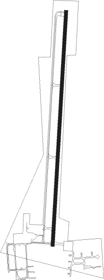
Salmon - Lemhi County
Airport details
| Country | United States of America |
| State | Idaho |
| Region | K1 |
| Airspace | Salt Lake City Ctr |
| Municipality | Lemhi County |
| Elevation | 4041ft (1232m) |
| Timezone | GMT -7 |
| Coordinates | 45.12328, -113.88145 |
| Magnetic var | |
| Type | land |
| Available since | X-Plane v10.40 |
| ICAO code | KSMN |
| IATA code | SMN |
| FAA code | SMN |
Communication
| Lemhi County AWOS 3 | 135.075 |
| Lemhi County CTAF/UNICOM | 122.800 |
Nearby Points of Interest:
Salmon City Hall and Library
-Lemhi County Courthouse
-Lemhi Pass
Nearby beacons
| code | identifier | dist | bearing | frequency |
|---|---|---|---|---|
| LKT | SALMON VOR/DME | 10.5 | 243° | 113.50 |
Departure and arrival routes
| Transition altitude | 18000ft |
| Transition level | 18000ft |
| SID end points | distance | outbound heading | |
|---|---|---|---|
| RW35 | |||
| AHEHU3 | 18mi | 323° | |
Instrument approach procedures
| runway | airway (heading) | route (dist, bearing) |
|---|---|---|
| RW17 | FAXON (154°) | FAXON EPIRE (7mi, 135°) 9900ft GLANS (3mi, 137°) 8900ft CASBA (3mi, 138°) 8100ft |
| RW17 | JUNKA (229°) | JUNKA KYTES (7mi, 268°) 12000ft ILUJU (7mi, 267°) 10000ft HOBUD (12mi, 265°) 10000ft EPIRE (8mi, 204°) 9900ft GLANS (3mi, 137°) 8900ft CASBA (3mi, 138°) 8100ft |
| RNAV | CASBA 8100ft DIVDE (3mi, 150°) 7600ft BUTEO (3mi, 150°) 7100ft AXLED (4mi, 191°) 5704ft (6400mi, 112°) 5704ft LOWSE (6395mi, 292°) MEWLS (6mi, 143°) NUBIE (11mi, 186°) ORELE (14mi, 116°) 13600ft ORELE (turn) | |
| RWNVD | WABUD (347°) | WABUD ZAROD (16mi, 295°) 14000ft HOSUN (7mi, 355°) 12000ft JIRBA (6mi, 357°) 10300ft |
| RWNVD | YOWLS (31°) | YOWLS ZAROD (15mi, 48°) 14000ft HOSUN (7mi, 355°) 12000ft JIRBA (6mi, 357°) 10300ft |
| RNAV | JIRBA 10300ft CAXOD (8mi, 40°) 9200ft AYASO (2mi, 44°) 8700ft BOSKS (4mi, 30°) 7020ft CEGVI (3mi, 30°) 4542ft (6402mi, 112°) 4542ft REWIN (6398mi, 292°) FAXON (23mi, 322°) 12000ft FAXON (turn) 12000ft |
Disclaimer
The information on this website is not for real aviation. Use this data with the X-Plane flight simulator only! Data taken with kind consent from X-Plane 12 source code and data files. Content is subject to change without notice.
