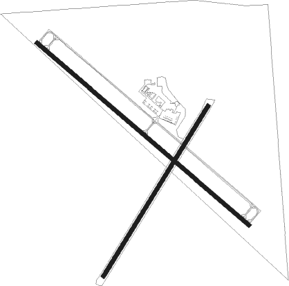
Sidney - Sidney Municipal / Lloyd W. Carr Field
Airport details
| Country | United States of America |
| State | Nebraska |
| Region | K3 |
| Airspace | Denver Ctr |
| Municipality | Cheyenne County |
| Elevation | 4312ft (1314m) |
| Timezone | GMT -7 |
| Coordinates | 41.09981, -102.98497 |
| Magnetic var | |
| Type | land |
| Available since | X-Plane v10.40 |
| ICAO code | KSNY |
| IATA code | SNY |
| FAA code | SNY |
Communication
| Sidney Municipal / Lloyd W. Carr Field ASOS | 125.775 |
| Sidney Municipal / Lloyd W. Carr Field CTAF/UNICOM | 122.800 |
| Sidney Municipal / Lloyd W. Carr Field DENVER ApproachROACH | 118.475 |
| Sidney Municipal / Lloyd W. Carr Field DENVER DepartureARTURE | 118.475 |
Nearby Points of Interest:
Sidney Carnegie Library
-Deadwood Draw
-Sioux Ordnance Depot Fire & Guard Headquarters
-Mud Springs Station Archeological District
-Fred and Minnie Meyer Sudman House
-Deuel County Courthouse
-Schuetz Log Cabin
-Lisco State Aid Bridge
-Logan County Courthouse
-Downtown Sterling Historic District
-St. Anthony's Roman Catholic Church (Sterling, Colorado)

Nearby beacons
| code | identifier | dist | bearing | frequency |
|---|---|---|---|---|
| SNY | SIDNEY VOR/DME | 0.2 | 148° | 115.90 |
| CNP | CHAPPELL NDB | 23.8 | 93° | 383 |
| OKS | OSHKOSH NDB | 33.8 | 65° | 233 |
| BFF | SCOTTSBLUFF VORTAC | 52.6 | 328° | 112.60 |
| AKO | AKRON VOR/DME | 57.3 | 192° | 114.40 |
| AIA | ALLIANCE VOR/DME | 57.9 | 11° | 111.80 |
Instrument approach procedures
| runway | airway (heading) | route (dist, bearing) |
|---|---|---|
| RW13 | APAYU (106°) | APAYU FEKAP (10mi, 81°) 6500ft |
| RW13 | JENUK (148°) | JENUK FEKAP (9mi, 184°) 6500ft |
| RW13 | SNY (328°) | SNY FEKAP (13mi, 307°) 6500ft FEKAP (turn) 6500ft |
| RNAV | FEKAP 6500ft SAKAY (7mi, 127°) 6000ft KSNY (6mi, 128°) 4357ft (5991mi, 112°) 4563ft GIGDE (5984mi, 292°) 6000ft GIGDE (turn) | |
| RW31 | HINGA (11°) | HINGA GIGDE (16mi, 52°) 6000ft |
| RW31 | KESSE (271°) | KESSE GIGDE (14mi, 244°) 6000ft |
| RW31 | SNY (328°) | SNY GIGDE (11mi, 127°) 6000ft GIGDE (turn) 6000ft |
| RNAV | GIGDE 6000ft IFLIP (6mi, 307°) 6000ft KSNY (6mi, 307°) 4328ft (5991mi, 112°) 4713ft FEKAP (5998mi, 292°) 6500ft FEKAP (turn) |
Disclaimer
The information on this website is not for real aviation. Use this data with the X-Plane flight simulator only! Data taken with kind consent from X-Plane 12 source code and data files. Content is subject to change without notice.