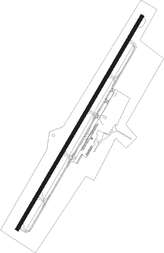
Sparta - Upper Cumberland Regl
Airport details
| Country | United States of America |
| State | Tennessee |
| Region | K7 |
| Airspace | Memphis Ctr |
| Municipality | White County |
| Elevation | 1021ft (311m) |
| Timezone | GMT -6 |
| Coordinates | 36.05674, -85.53011 |
| Magnetic var | |
| Type | land |
| Available since | X-Plane v10.40 |
| ICAO code | KSRB |
| IATA code | n/a |
| FAA code | SRB |
Communication
| Upper Cumberland Regl AWOS 3 | 128.250 |
| Upper Cumberland Regl CTAF/UNICOM | 122.800 |
Approach frequencies
| ILS-cat-I | RW04 | 110.1 | 18.00mi |
| 3° GS | RW04 | 110.1 | 18.00mi |
Nearby Points of Interest:
Broad Street Church of Christ
-The Arcade
-Cookeville Railroad Depot
-White Plains
-Community Building
-Sparta Rock House
-West End Church of Christ Silver Point
-Pioneer Hall
-Fort Blount
-Liberty Historic District
-Falcon Rest
-Falconhurst
-Cordell Hull Bridge
-Alpine Institute
-Bellview School
-Cumberland County Courthouse
-Spring Street Service Station
-Black House
-Cumberland Homesteads
-William Washington Seay House
-Clay County Courthouse
-Cannon County Courthouse
-Brevard-Macon House
-Northcutt Plantation
-Dixona
Nearby beacons
| code | identifier | dist | bearing | frequency |
|---|---|---|---|---|
| HEM | HUCHN NDB | 4.9 | 219° | 233 |
| HCH | HINCH MTN (CROSSVILLE) VOR/DME | 31.5 | 117° | 117.60 |
| LVT | LIVINGSTON VOR/DME | 36.2 | 35° | 108.40 |
| FQW | WALTER HILL (MURFREESBORO) NDB | 41.2 | 264° | 371 |
| DTE | MARK ANTON (DAYTON) NDB | 45.2 | 134° | 394 |
| SCX | SCOTT (ONEIDA) NDB | 51.5 | 67° | 403 |
| SYI | SHELBYVILLE VOR/DME | 53.3 | 241° | 113.55 |
| CQN | DAISY (N.CHATTANOOGA) NDB | 56.4 | 157° | 341 |
| BW | NOORA (BOWLING GREEN) NDB | 67.4 | 311° | 236 |
| BWG | GREEN DME | 68.4 | 314° | 117.90 |
| CDX | CUMBERLAND RIVER (SOMERSET) NDB | 69.7 | 42° | 388 |
Instrument approach procedures
| runway | airway (heading) | route (dist, bearing) |
|---|---|---|
| RW04 | BORSE (64°) | BORSE WENUB (6mi, 119°) 4000ft |
| RW04 | ECUTO (13°) | ECUTO WENUB (6mi, 300°) 4000ft |
| RW04 | WENUB (41°) | WENUB 4000ft |
| RNAV | WENUB 4000ft ZEBEN (7mi, 41°) 3000ft UTUCE (4mi, 41°) 1680ft KSRB (2mi, 41°) 1069ft (5188mi, 113°) 1238ft WOTEK (5181mi, 293°) 4000ft WOTEK (turn) | |
| RW22 | LICET (244°) | LICET 5000ft WOTEK (6mi, 300°) 4400ft |
| RW22 | WOTEK (221°) | WOTEK 4400ft |
| RW22 | ZUKAM (193°) | ZUKAM 5000ft WOTEK (6mi, 120°) 4400ft |
| RNAV | WOTEK 4400ft YASUB (4mi, 221°) 3800ft UROBE (3mi, 221°) 3200ft ZUDAG (3mi, 221°) 2200ft KSRB (4mi, 221°) 1079ft (5188mi, 113°) 1275ft WENUB (5195mi, 293°) 4000ft WENUB (turn) |
Disclaimer
The information on this website is not for real aviation. Use this data with the X-Plane flight simulator only! Data taken with kind consent from X-Plane 12 source code and data files. Content is subject to change without notice.