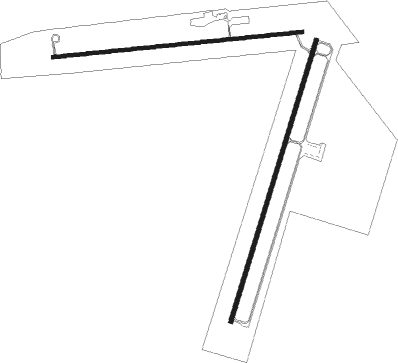
Santa Rosa - Santa Rosa Route 66
Airport details
| Country | United States of America |
| State | New Mexico |
| Region | K2 |
| Airspace | Albuquerque Ctr |
| Municipality | Guadalupe County |
| Elevation | 4791ft (1460m) |
| Timezone | GMT -7 |
| Coordinates | 34.93567, -104.64256 |
| Magnetic var | |
| Type | land |
| Available since | X-Plane v10.40 |
| ICAO code | KSXU |
| IATA code | n/a |
| FAA code | KSXU |
Communication
| Santa Rosa Route 66 AWOS-3 | 118.100 |
| Santa Rosa Route 66 CTAF/UNICOM | 122.800 |
Nearby Points of Interest:
Jesus M. Casaus House
-J. Julian Moise House
-Guadalupe County Courthouse in Santa Rosa
-Richardson Store

Nearby beacons
| code | identifier | dist | bearing | frequency |
|---|---|---|---|---|
| ACH | ANTON CHICO VORTAC | 22.2 | 294° | 117.80 |
| FTI | FORT UNION VORTAC | 49.6 | 326° | 117.30 |
Disclaimer
The information on this website is not for real aviation. Use this data with the X-Plane flight simulator only! Data taken with kind consent from X-Plane 12 source code and data files. Content is subject to change without notice.