Selmer - Robert Sibley
Airport details
| Country | United States of America |
| State | Tennessee |
| Region | K7 |
| Airspace | Memphis Ctr |
| Municipality | McNairy County |
| Elevation | 608ft (185m) |
| Timezone | GMT -6 |
| Coordinates | 35.20295, -88.49836 |
| Magnetic var | |
| Type | land |
| Available since | X-Plane v10.40 |
| ICAO code | KSZY |
| IATA code | n/a |
| FAA code | SZY |
Communication
| Robert Sibley AWOS 3 | 118.425 |
| Robert Sibley CTAF/UNICOM | 122.700 |
Nearby Points of Interest:
Falls Mill
-Cherry Mansion
-Siege and Battle of Corinth Sites
-Chester County Courthouse
-Midtown Corinth Historic District
-Downtown Corinth Historic District
-Hamlett-Smith House
-Pocahontas School
-Bolivar Court Square Historic District
-Thompsie Edwards House
-Church of Our Saviour
-Carnegie Center for Arts and History
-William Kirby Walsh House
-Ross-Sewell House
-John P. Rains Hotel
-Allen-White School
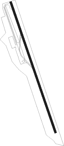
Runway info
| Runway 17 / 35 | ||
| length | 1526m (5007ft) | |
| bearing | 163° / 343° | |
| width | 23m (75ft) | |
| surface | asphalt | |
Nearby beacons
| code | identifier | dist | bearing | frequency |
|---|---|---|---|---|
| UU | SEYER (CORINTH) NDB | 12.6 | 212° | 334 |
| MKL | MERSY (JACKSON) NDB | 29.2 | 304° | 394 |
| MKL | MC KELLAR (JACKSON) VOR/DME | 31.3 | 314° | 112 |
| HLI | HOLLY SPRINGS VORTAC | 55.5 | 247° | 112.40 |
| OTB | TUPELO VOR/DME | 60.6 | 197° | 109.80 |
| DYR | DYERSBURG VORTAC | 63.2 | 315° | 116.80 |
Instrument approach procedures
| runway | airway (heading) | route (dist, bearing) |
|---|---|---|
| RW17 | CODGA (136°) | CODGA 2600ft YIPUB (5mi, 78°) 2600ft |
| RW17 | JOVMI (192°) | JOVMI 2600ft YIPUB (5mi, 258°) 2600ft |
| RW17 | YIPUB (163°) | YIPUB 2600ft |
| RNAV | YIPUB 2600ft PEVYI (6mi, 163°) 2200ft KSZY (5mi, 163°) 632ft ZABAB (11mi, 163°) 2600ft ZABAB (turn) | |
| RW35 | CILEL (12°) | CILEL 2600ft ZABAB (5mi, 78°) 2600ft |
| RW35 | OTGUE (316°) | OTGUE 2600ft ZABAB (5mi, 258°) 2600ft |
| RW35 | ZABAB (343°) | ZABAB 2600ft |
| RNAV | ZABAB 2600ft PUYBI (6mi, 343°) 2100ft KSZY (5mi, 343°) 650ft YIPUB (11mi, 343°) 2600ft YIPUB (turn) |
Disclaimer
The information on this website is not for real aviation. Use this data with the X-Plane flight simulator only! Data taken with kind consent from X-Plane 12 source code and data files. Content is subject to change without notice.