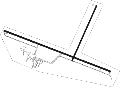
Torrington - Torrington Muni
Airport details
| Country | United States of America |
| State | Wyoming |
| Region | K1 |
| Airspace | Denver Ctr |
| Municipality | Torrington |
| Elevation | 4205ft (1282m) |
| Timezone | GMT -7 |
| Coordinates | 42.06453, -104.15269 |
| Magnetic var | |
| Type | land |
| Available since | X-Plane v10.40 |
| ICAO code | KTOR |
| IATA code | TOR |
| FAA code | TOR |
Communication
| Torrington Muni ASOS | 118.375 |
| Torrington Muni CTAF/UNICOM | 122.800 |
Nearby Points of Interest:
South Torrington Union Pacific Depot
-Fort Laramie National Historic Site
-Robidoux Pass
-Fort Mitchell, Nebraska
-Midwest Theater
-Marquis Opera House
-Fontenelle Apartment House
-Jay Em Historic District
-Scotts Bluff County Courthouse
-C.C. Hampton Homestead
-Register Cliff
-Oregon Trail Ruts

Nearby beacons
| code | identifier | dist | bearing | frequency |
|---|---|---|---|---|
| TOR | TORRINGTON NDB | 0 | 332° | 293 |
| GYZ | CAMP GUERNSEY NDB | 27.1 | 287° | 280 |
| BFF | SCOTTSBLUFF VORTAC | 31.6 | 104° | 112.60 |
| TST | TOADSTOOL VOR/DME | 47.6 | 60° | 113.40 |
| CYS | CHEYENNE VORTAC | 58.3 | 216° | 113.10 |
| CD | DAWES (CHADRON) NDB | 60 | 55° | 362 |
Disclaimer
The information on this website is not for real aviation. Use this data with the X-Plane flight simulator only! Data taken with kind consent from X-Plane 12 source code and data files. Content is subject to change without notice.