Tekamah - Tekamah Muni
Airport details
| Country | United States of America |
| State | Nebraska |
| Region | K3 |
| Airspace | Minneapolis Ctr |
| Municipality | Burt County |
| Elevation | 1025ft (312m) |
| Timezone | GMT -6 |
| Coordinates | 41.76353, -96.17794 |
| Magnetic var | |
| Type | land |
| Available since | X-Plane v10.40 |
| ICAO code | KTQE |
| IATA code | n/a |
| FAA code | TQE |
Communication
| Tekamah Muni ASOS | 127.275 |
| Tekamah Muni CTAF/UNICOM | 123.000 |
| Tekamah Muni OMAHA Approach/Departure | 124.500 |
Nearby Points of Interest:
H.S.M. Spielman House
-Burt County Courthouse
-Tekamah Carnegie Library
-E.C. Houston House
-Loess Hills
-C.C. Crowell Jr. House
-Blair High School
-Washington County Courthouse
-Mann School No. 2
-St. John's German Evangelical Lutheran Church
-Onawa IOOF Opera House
-Newell A. Whiting House
-Onawa Public Library
-Monona County Courthouse
-Harrison County Courthouse
-Hooper Historic District
-State Savings Bank
-Woodbine Public Library
-Siebels' Department Store-Boyer Valley Bank
-Harder Hotel
-Christopher Knoell Farmstead
-Nye House
-R. B. Schneider House
-J. D. McDonald House
-Fremont Municipal Auditorium
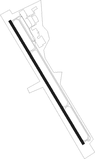
Runway info
| Runway 15 / 33 | ||
| length | 1221m (4006ft) | |
| bearing | 146° / 326° | |
| width | 23m (75ft) | |
| surface | concrete | |
Nearby beacons
| code | identifier | dist | bearing | frequency |
|---|---|---|---|---|
| SCB | SCRIBNER VOR/DME | 22.3 | 251° | 111 |
| SU | SALIX (SOUIX CITY) NDB | 34.2 | 349° | 414 |
| SUX | SIOUX CITY TACAN | 35.4 | 346° | 116.50 |
| AHQ | WAHOO NDB | 36.7 | 219° | 400 |
| OFF | OFFUTT (OMAHA) TACAN | 40.7 | 157° | 111.70 |
| OVR | OMAHA VORTAC | 40.9 | 144° | 116.30 |
| OI | TOMMI (SIOUX CITY) NDB | 43.7 | 338° | 305 |
| PMV | PLATTSMOUTH NDB | 50.6 | 162° | 329 |
| LNK | LINCOLN VORTAC | 56.4 | 214° | 116.10 |
Instrument approach procedures
| runway | airway (heading) | route (dist, bearing) |
|---|---|---|
| RW15 | GOCRE (146°) | GOCRE 3400ft |
| RNAV | GOCRE 3400ft HIGVA (6mi, 146°) 2900ft ZAPLI (3mi, 146°) 2020ft KTQE (3mi, 146°) 1067ft (5682mi, 113°) 1277ft BRAVA (5678mi, 293°) 3000ft BRAVA (turn) | |
| RW33 | BRAVA (326°) | BRAVA 3000ft |
| RNAV | BRAVA 3000ft ANISY (6mi, 327°) 2500ft OTEKE (2mi, 326°) 2020ft KTQE (3mi, 326°) 1064ft (5682mi, 113°) 1276ft GOCRE (5686mi, 294°) 3000ft GOCRE (turn) |
Disclaimer
The information on this website is not for real aviation. Use this data with the X-Plane flight simulator only! Data taken with kind consent from X-Plane 12 source code and data files. Content is subject to change without notice.