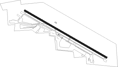
Tehachapi - Tehachapi Muni
Airport details
| Country | United States of America |
| State | California |
| Region | K2 |
| Airspace | Los Angeles Ctr |
| Municipality | Tehachapi |
| Elevation | 4000ft (1219m) |
| Timezone | GMT -8 |
| Coordinates | 35.13299, -118.43829 |
| Magnetic var | |
| Type | land |
| Available since | X-Plane v10.40 |
| ICAO code | KTSP |
| IATA code | TSP |
| FAA code | TSP |
Communication
| Tehachapi Muni AWOS-3 | 120.025 |
| Tehachapi Muni CTAF/UNICOM | 123.000 |
Nearby Points of Interest:
Tehachapi Railroad Depot
-Courtlandt Gross House
-Tehachapi Loop
-Weedpatch Camp
-Fort Tejon
-Last Chance Canyon
-Baker Branch Library
-Bakersfield California Building
-Tevis Block
-Jastro Building
-Burro Schmidt Tunnel
-Rogers Dry Lake
Nearby beacons
| code | identifier | dist | bearing | frequency |
|---|---|---|---|---|
| LHS | LAKE HUGHES VORTAC | 27.8 | 197° | 114.35 |
| GMN | GORMAN VORTAC | 28.7 | 232° | 116.10 |
| PMD | PALMDALE VORTAC | 35.3 | 143° | 114.50 |
| EDW | EDWARDS VORTAC | 35.8 | 102° | 116.40 |
| EHF | SHAFTER (BAKERSFIELD) VORTAC | 38.5 | 298° | 115.40 |
| NID | CHINA LAKE TACAN | 49.5 | 53° | 111.60 |
| FIM | FILLMORE VORTAC | 51.4 | 210° | 112.50 |
| VNY | VAN NUYS VOR/DME | 54.6 | 183° | 113.10 |
| TTE | TULE VOR/DME | 54.8 | 323° | 109.20 |
| CMA | CAMARILLO VOR/DME | 64 | 215° | 115.80 |
Disclaimer
The information on this website is not for real aviation. Use this data with the X-Plane flight simulator only! Data taken with kind consent from X-Plane 12 source code and data files. Content is subject to change without notice.