Taylor
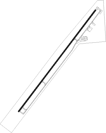
Airport details
| Country | United States of America |
| State | Arizona |
| Region | K2 |
| Airspace | Albuquerque Ctr |
| Municipality | Taylor |
| Elevation | 5823ft (1775m) |
| Timezone | GMT -7 |
| Coordinates | 34.45272, -110.11503 |
| Magnetic var | |
| Type | land |
| Available since | X-Plane v10.40 |
| ICAO code | KTYL |
| IATA code | TYZ |
| FAA code | TYL |
Communication
| Taylor AWOS 3 | 119.075 |
| Taylor CTAF/UNICOM | 122.700 |
Nearby Points of Interest:
Corduroy Creek Bridge
-Cedar Canyon Bridge
-Lake Mountain Lookout Complex
Nearby beacons
| code | identifier | dist | bearing | frequency |
|---|---|---|---|---|
| SJN | ST JOHNS VORTAC | 48.1 | 92° | 112.30 |
| INW | WINSLOW VORTAC | 49.6 | 312° | 112.60 |
| ZUN | ZUNI VORTAC | 56.5 | 62° | 113.40 |
Departure and arrival routes
| Transition altitude | 18000ft |
| Transition level | 18000ft |
| SID end points | distance | outbound heading | |
|---|---|---|---|
| RW03 | |||
| CAMBA4 | 48mi | 92° | |
Instrument approach procedures
| runway | airway (heading) | route (dist, bearing) |
|---|---|---|
| RW21 | AVANS (144°) | AVANS BANZO (23mi, 122°) 8400ft CAMBA (9mi, 137°) 8000ft |
| RW21 | CAMBA (227°) | CAMBA 8000ft |
| RW21 | HOZER (331°) | HOZER DPAUL (21mi, 21°) 9900ft CAMBA (10mi, 304°) 8000ft |
| RW21 | SJN (272°) | SJN DPAUL (34mi, 275°) 9200ft CAMBA (10mi, 304°) 8000ft |
| RNAV | CAMBA 8000ft BOLYN (5mi, 226°) 7400ft ZUKUV (3mi, 227°) 6340ft KTYL (2mi, 227°) 5772ft (6395mi, 107°) 6300ft CAMBA (6386mi, 287°) 8000ft CAMBA (turn) |
Disclaimer
The information on this website is not for real aviation. Use this data with the X-Plane flight simulator only! Data taken with kind consent from X-Plane 12 source code and data files. Content is subject to change without notice.