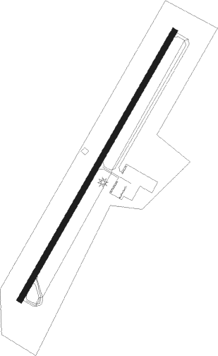
Tompkinsville - Tomkinsville Monroe Co
Airport details
| Country | United States of America |
| State | Kentucky |
| Region | K5 |
| Airspace | Memphis Ctr |
| Municipality | Monroe County |
| Elevation | 1036ft (316m) |
| Timezone | GMT -6 |
| Coordinates | 36.72903, -85.65239 |
| Magnetic var | |
| Type | land |
| Available since | X-Plane v10.40 |
| ICAO code | KTZV |
| IATA code | n/a |
| FAA code | TZV |
Communication
| Tomkinsville Monroe Co CTAF/UNICOM | 122.800 |
Nearby Points of Interest:
Old Mulkey Meetinghouse
-Mount Vernon AME Church
-Marrowbone Historic District
-Clay County Courthouse
-Donoho Hotel
-Metcalfe County Kentucky Courthouse
-Counts Hotel
-Metcalfe County Jail
-James Baker House
-Bell House
-Belview School
-Creelsboro Natural Bridge
-Sulphur Well Historic District
-Long Creek School
-Fort Blount
-The Tabernacle
-J.L. Turner and Son Building
-Dr. Pellie G. Graves House
-Scottsville Downtown Commercial Historic District
-Zion Meetinghouse and School
-John Field House
-Adair County Courthouse
-Dr. Nathan Gaither House
-Alpine Institute
-Mt. Gilead Baptist Church
Nearby beacons
| code | identifier | dist | bearing | frequency |
|---|---|---|---|---|
| LVT | LIVINGSTON VOR/DME | 24.9 | 107° | 108.40 |
| BWG | GREEN DME | 39.8 | 284° | 117.90 |
| BW | NOORA (BOWLING GREEN) NDB | 40.8 | 280° | 236 |
| HEM | HUCHN NDB | 44.6 | 175° | 233 |
| CDX | CUMBERLAND RIVER (SOMERSET) NDB | 49.3 | 75° | 388 |
| EWO | NEW HOPE VOR/DME | 54.2 | 359° | 110.80 |
| FQW | WALTER HILL (MURFREESBORO) NDB | 57.7 | 223° | 371 |
| HCH | HINCH MTN (CROSSVILLE) VOR/DME | 65.6 | 145° | 117.60 |
| DVK | GOODALL (DANVILLE) NDB | 66.3 | 46° | 311 |
Instrument approach procedures
| runway | airway (heading) | route (dist, bearing) |
|---|---|---|
| RW04 | GARVY (82°) | GARVY UCASO (23mi, 103°) 4000ft |
| RW04 | HARME (44°) | HARME UCASO (17mi, 47°) 4000ft |
| RW04 | LVT (287°) | LVT UCASO (31mi, 267°) 4000ft UCASO (turn) 4000ft |
| RNAV | UCASO 4000ft AHUCA (8mi, 40°) 2600ft UNTOW (3mi, 40°) 1640ft KTZV (2mi, 40°) 1056ft (5196mi, 113°) 1436ft CAVAS (5190mi, 293°) 4000ft CAVAS (turn) | |
| RW22 | CAVAS (221°) | CAVAS 4000ft |
| RW22 | CENUD (231°) | CENUD CAVAS (7mi, 248°) 4000ft |
| RNAV | CAVAS 4000ft DOHEP (7mi, 221°) 2600ft KTZV (5mi, 220°) 1066ft (5196mi, 113°) 1385ft UCASO (5203mi, 293°) 4000ft UCASO (turn) |
Disclaimer
The information on this website is not for real aviation. Use this data with the X-Plane flight simulator only! Data taken with kind consent from X-Plane 12 source code and data files. Content is subject to change without notice.