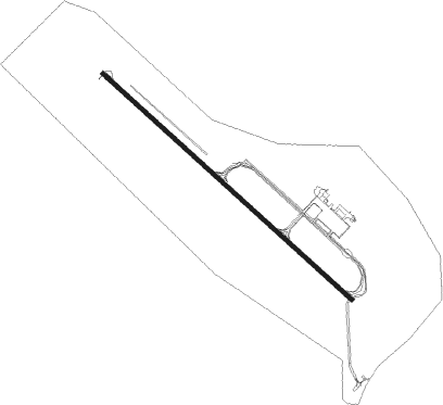
Lompoc - Vandenberg Afb
Airport details
| Country | United States of America |
| State | California |
| Region | K2 |
| Airspace | Los Angeles Ctr |
| Municipality | Santa Barbara County |
| Elevation | 369ft (112m) |
| Timezone | GMT -8 |
| Coordinates | 34.73734, -120.58431 |
| Magnetic var | |
| Type | land |
| Available since | X-Plane v10.40 |
| ICAO code | KVBG |
| IATA code | VBG |
| FAA code | VBG |
Communication
| Vandenberg AFB ATIS | 133.125 |
| Vandenberg AFB CTAF | 124.950 |
| Vandenberg AFB Ground Control/Clearance DEL | 121.750 |
| Vandenberg AFB Tower | 124.950 |
| Vandenberg AFB SANTA BARB Approach/Departure | 124.150 |
Approach frequencies
| ILS-cat-I | RW12 | 110.1 | 18.00mi |
| ILS-cat-I | RW30 | 110.1 | 18.00mi |
| 3° GS | RW12 | 110.1 | 18.00mi |
| 3° GS | RW30 | 110.1 | 18.00mi |
Nearby Points of Interest:
Vandenberg SFB Space Launch Complex 10
-Los Alamos Ranch House
-Guadalupe-Nipomo Dunes
-Guadalupe-Nipomo Dunes National Wildlife Refuge
-Arroyo Grande IOOF Hall
-Gaviota Pass
-John Price House
-Pacific Coast Railway Company Grain Warehouse
-Tribune-Republic Building
-Myron Angel House
-San Luis Obispo Carnegie Library
-William Shipsey House
Nearby beacons
| code | identifier | dist | bearing | frequency |
|---|---|---|---|---|
| VBG | VANDENBERG (LOMPOC) TACAN | 0.2 | 165° | 112.25 |
| GLJ | GUADALUPE (SANTA MARIA) VOR | 13.2 | 16° | 111 |
| GVO | GAVIOTA VORTAC | 27.3 | 113° | 113.80 |
| MQO | MORRO BAY (SAN LUIS OBISP VORTAC | 32.1 | 341° | 112.40 |
| FLW | FELLOWS VOR/DME | 41.3 | 64° | 117.50 |
| RZS | SAN MARCUS (SANTA BARBARA VORTAC | 42.4 | 106° | 114.90 |
| PRB | PASO ROBLES VORTAC | 56.2 | 357° | 114.30 |
| AVE | AVENAL VOR/DME | 62.1 | 34° | 117.10 |
Departure and arrival routes
| Transition altitude | 18000ft |
| Transition level | 18000ft |
| SID end points | distance | outbound heading | |
|---|---|---|---|
| RW12 | |||
| GVO3 | 27mi | 113° | |
| RW30 | |||
| VBG3 | 32mi | 341° | |
Disclaimer
The information on this website is not for real aviation. Use this data with the X-Plane flight simulator only! Data taken with kind consent from X-Plane 12 source code and data files. Content is subject to change without notice.