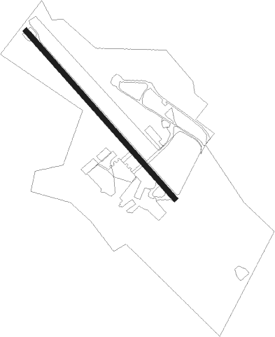
Bridgewater - Bridgewater Air Park
Airport details
| Country | United States of America |
| State | Virginia |
| Region | K6 |
| Airspace | Washington Ctr |
| Municipality | Rockingham County |
| Elevation | 1165ft (355m) |
| Timezone | GMT -5 |
| Coordinates | 38.36674, -78.96033 |
| Magnetic var | |
| Type | land |
| Available since | X-Plane v10.40 |
| ICAO code | KVBW |
| IATA code | n/a |
| FAA code | n/a |
Communication
| Bridgewater Air Park AWOS-3 | 119.550 |
| Bridgewater Air Park CTAF/UNICOM | 122.700 |
| Bridgewater Air Park POTOMAC Approach/Departure | 132.850 |
Nearby Points of Interest:
Bridgewater Historic District (Bridgewater, Virginia)
-Contentment (Mount Crawford, Virginia)
-Henry Miller House (Mossy Creek, Virginia)
-Daniel Harrison House
-Hannah Miller House
-Peter Paul House
-George Earman House
-Signal Hill (Culpeper, Virginia)
-Kyle's Mill House
-Taylor Springs (Harrisonburg, Virginia)
-Whitesel Brothers
-Massanetta Springs Historic District
-Joshua Wilton House
-West View Schoolhouse
-Thomas Harrison House
-Harrisonburg Downtown Historic District
-Old Town Historic District
-Rockingham County Courthouse
-Haugh House
-Mt. Sidney Historic District
-Anthony Hockman House
-Long Glade Farm
-Harnsberger Octagonal Barn
-Augusta Military Academy
-Mt. Meridian Schoolhouse
Nearby beacons
| code | identifier | dist | bearing | frequency |
|---|---|---|---|---|
| SH | STAUT(STAUNTON-WAYNESBORO-HARR NDB | 9.9 | 179° | 375 |
| MOL | MONTEBELLO VOR/DME | 28.8 | 197° | 115.30 |
| LUA | CAVERNS (LURAY) NDB | 30.4 | 56° | 245 |
| GVE | GORDONSVILLE VORTAC | 43.6 | 114° | 115.60 |
| LDN | LINDEN VORTAC | 45.9 | 57° | 114.30 |
| ESL | KESSEL VOR/DME | 51.5 | 358° | 110.80 |
| RQY | RANDOLPH CO. (ELKINS) NDB | 52.7 | 300° | 284 |
Instrument approach procedures
| runway | airway (heading) | route (dist, bearing) |
|---|---|---|
| RW15 | LURAY (239°) | LURAY POBDE (18mi, 276°) 6000ft ACOSA (5mi, 256°) 5400ft COSDU (3mi, 171°) 5300ft |
| RW15 | TEAKK (171°) | TEAKK ACOSA (11mi, 188°) 5400ft COSDU (3mi, 171°) 5300ft |
| RNAV | COSDU 5300ft BEGBE (3mi, 171°) 4600ft WELSU (4mi, 152°) 3120ft JAPMI (5mi, 153°) 2080ft (4887mi, 116°) 2080ft SONRY (4884mi, 296°) RFLAT (7mi, 121°) 5000ft RFLAT (turn) | |
| RW33 | MITER (292°) | MITER RFLAT (10mi, 266°) 5000ft |
| RW33 | MOL (17°) | MOL HESKU (18mi, 45°) 6000ft RFLAT (5mi, 49°) 5000ft |
| RW33 | TTUMS (156°) | TTUMS RFLAT (25mi, 146°) 6000ft RFLAT (turn) 6000ft |
| RNAV | RFLAT 5000ft RIVKE (3mi, 316°) 4100ft BEEDY (3mi, 316°) 3100ft KVBW (6mi, 316°) 1205ft (4887mi, 116°) 1565ft MOL (4890mi, 296°) 6000ft MOL (turn) |
Disclaimer
The information on this website is not for real aviation. Use this data with the X-Plane flight simulator only! Data taken with kind consent from X-Plane 12 source code and data files. Content is subject to change without notice.
