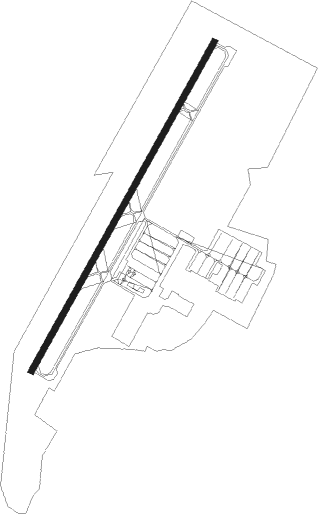
Vacaville - Nut Tree
Airport details
| Country | United States of America |
| State | California |
| Region | K2 |
| Airspace | Oakland Ctr |
| Municipality | Vacaville |
| Elevation | 117ft (36m) |
| Timezone | GMT -8 |
| Coordinates | 38.37822, -121.96120 |
| Magnetic var | |
| Type | land |
| Available since | X-Plane v10.40 |
| ICAO code | KVCB |
| IATA code | n/a |
| FAA code | VCB |
Communication
| NUT TREE ASOS | 134.750 |
| NUT TREE CTAF/UNICOM | 122.700 |
| NUT TREE TRAVIS Approach/Departure | 128.400 |
Nearby Points of Interest:
Vacaville Town Hall
-Downtown Winters Historic District
-Suisun Masonic Lodge No. 55
-Dresbach-Hunt-Boyer House
-First Street Bridge
-Semorile Building
-Capt. N. H. Wulff House
-Napa Valley Opera House
-Napa County Courthouse Plaza
-Bank of Napa
-Sam Kee Laundry Building
-Gordon Building
-Goodman Library
-U.S. Post Office
-William Andrews House
-Eliza G. Yount House
-Nichelini Family Winery
-Trefethen Vineyards
-USCGC Storis
-Hastings Adobe
-Gibson Mansion
-Port Chicago Naval Magazine National Memorial
-Porter Building
-Downtown Woodland Historic District
-Woodland Public Library
Nearby beacons
| code | identifier | dist | bearing | frequency |
|---|---|---|---|---|
| SUU | TRAVIS (FAIRFIELD) TACAN | 8 | 173° | 116.60 |
| SAC | SACRAMENTO VORTAC | 19.6 | 81° | 115.20 |
| CCR | CONCORD VOR/DME | 20.4 | 194° | 117 |
| SGD | SCAGGS ISLAND (NAPA) VORTAC | 22.8 | 244° | 112.10 |
| MCC | MC CLELLAN (SACRAMENTO) VOR/DME | 31.4 | 63° | 109.20 |
| STS | ROSA DME | 40.7 | 279° | 116.15 |
| OAK | OAKLAND VOR/DME | 41 | 202° | 116.80 |
| SAU | SAUSALITO VOR/DME | 41.1 | 227° | 116.20 |
| ILA | WILLIAMS VORTAC | 41.7 | 355° | 114.40 |
| LV | REIGA (LIVERMORE) NDB | 43.2 | 158° | 374 |
| PYE | POINT REYES VOR/DME | 46.3 | 252° | 113.70 |
| MYV | MARYSVILLE VOR/DME | 46.9 | 28° | 110.80 |
| LIN | LINDEN VOR/DME | 48.7 | 108° | 114.80 |
| SFO | SAN FRANCISCO VOR/DME | 49.5 | 209° | 115.80 |
| BAB | BEALE (MARYSVILLE) TACAN | 51.5 | 35° | 108.60 |
| NUQ | MOFFETT (MOUNTAIN VIEW) TACAN | 56.9 | 186° | 117.60 |
| OSI | WOODSIDE VOR/DME | 61.1 | 198° | 113.90 |
Instrument approach procedures
| runway | airway (heading) | route (dist, bearing) |
|---|---|---|
| RW20 | BESSA (139°) | BESSA IPENE (15mi, 100°) 4700ft IPENE (turn) 2000ft |
| RW20 | SAC (261°) | SAC IPENE (14mi, 288°) 2000ft |
| RNAV | IPENE 2000ft NUFKY (6mi, 220°) 1700ft KVCB (5mi, 220°) 152ft (6878mi, 107°) 580ft IPENE (6868mi, 288°) 2100ft IPENE (turn) |
Disclaimer
The information on this website is not for real aviation. Use this data with the X-Plane flight simulator only! Data taken with kind consent from X-Plane 12 source code and data files. Content is subject to change without notice.