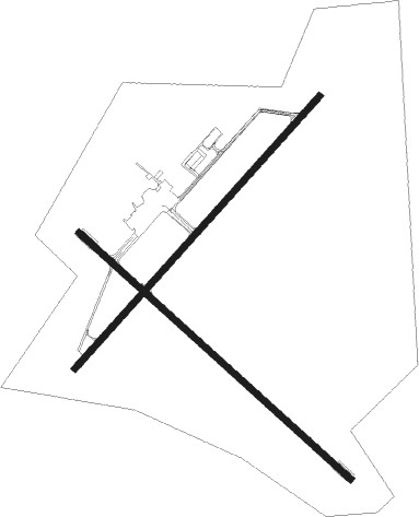
Rolla/vichy - Rolla National
Airport details
| Country | United States of America |
| State | Missouri |
| Region | K3 |
| Airspace | Kansas City Ctr |
| Municipality | Maries County |
| Elevation | 1146ft (349m) |
| Timezone | GMT -6 |
| Coordinates | 38.12742, -91.76950 |
| Magnetic var | |
| Type | land |
| Available since | X-Plane v10.40 |
| ICAO code | KVIH |
| IATA code | VIH |
| FAA code | VIH |
Communication
| Rolla National ASOS | 119.025 |
| Rolla National CTAF/UNICOM | 123.000 |
Nearby Points of Interest:
Maries County Jail and Sheriff's House
-National Bank of Rolla Building
-Phelps County Courthouse
-Phelps County Jail
-St. James Chapel
-Rolla Ranger Station Historic District
-Maramec Spring
-Cuba High School Annex
-Cuba Lodge No. 312 A.F. and A.M.
-Uptown Cuba Historic District
-John Manson Munro House
-Cuba City Jail
-St. Joseph Church
-Dr. Enoch T. and Amy Zewicki House
-Lewis and Elizabeth Bolton House
-St. Francis Xavier Catholic Church and Rectory
-Moreau Park Historic District

Nearby beacons
| code | identifier | dist | bearing | frequency |
|---|---|---|---|---|
| VIH | VICHY (ROLLA/VICHY) VOR/DME | 3.3 | 67° | 117.70 |
| JE | ALGOA (JEFFERSON CITY) NDB | 28.9 | 324° | 397 |
| TBN | FORNEY (FORT LEONARD WOOD VOR | 28.9 | 224° | 110 |
| BHN | BUCKHORN (FORT LEONARD WOOD) NDB | 30.2 | 218° | 391 |
| MAP | MAPLES TACAN | 32.2 | 182° | 113.40 |
| SHY | SUNSHINE (KAISER) VOR/DME | 39.7 | 264° | 108.40 |
| COU | COLUMBIA VOR/DME | 46.1 | 327° | 110.20 |
| FTZ | FORISTELL VORTAC | 50.6 | 55° | 110.80 |
| HLV | HALLSVILLE VORTAC | 61.5 | 340° | 114.20 |
Instrument approach procedures
| runway | airway (heading) | route (dist, bearing) |
|---|---|---|
| RW04 | MAP (2°) | MAP AVIJY (21mi, 346°) 2800ft GIKRE (5mi, 310°) 2800ft |
| RW04 | TOMAT (124°) | TOMAT ESIXY (22mi, 156°) 2800ft GIKRE (5mi, 130°) 2800ft |
| RW04 | VIH (247°) | VIH GIKRE (15mi, 237°) 2800ft GIKRE (turn) 2800ft |
| RNAV | GIKRE 2800ft YUNRU (6mi, 53°) 2800ft KVIH (5mi, 54°) 1176ft (5489mi, 113°) 1387ft HYHOE (5480mi, 293°) 3000ft HYHOE (turn) | |
| RW22 | DELMA (269°) | DELMA OZELE (29mi, 276°) 3000ft HYHOE (5mi, 310°) 3000ft |
| RW22 | HODGS (165°) | HODGS WUKEP (19mi, 139°) 3000ft HYHOE (5mi, 130°) 3000ft |
| RW22 | KOOOP (183°) | KOOOP WUKEP (22mi, 168°) 3000ft HYHOE (5mi, 130°) 3000ft |
| RW22 | STEER (251°) | STEER OZELE (20mi, 250°) 3000ft HYHOE (5mi, 310°) 3000ft |
| RW22 | VIH (247°) | VIH HYHOE (8mi, 47°) 3000ft HYHOE (turn) 3000ft |
| RNAV | HYHOE 3000ft EGEGE (6mi, 233°) 2800ft IWUZI (4mi, 233°) 1640ft KVIH (2mi, 230°) 1161ft (5489mi, 113°) 1367ft GIKRE (5497mi, 292°) 2800ft GIKRE (turn) |
Disclaimer
The information on this website is not for real aviation. Use this data with the X-Plane flight simulator only! Data taken with kind consent from X-Plane 12 source code and data files. Content is subject to change without notice.