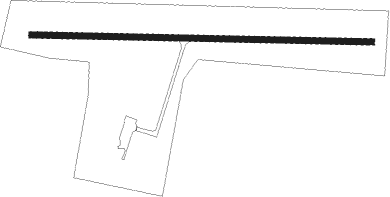
Neillsville - Neillsville Municipal
Airport details
| Country | United States of America |
| State | Wisconsin |
| Region | K5 |
| Airspace | Minneapolis Ctr |
| Municipality | Town of Grant |
| Elevation | 1235ft (376m) |
| Timezone | GMT -6 |
| Coordinates | 44.55811, -90.51225 |
| Magnetic var | |
| Type | land |
| Available since | X-Plane v10.40 |
| ICAO code | KVIQ |
| IATA code | n/a |
| FAA code | VIQ |
Communication
| NEILLSVILLE MUNICIPAL CTAF/UNICOM | 122.800 |
Nearby Points of Interest:
Charles Foote House
-Forrest D. and Marian Calway House
-William B. and Jennie Tufts House
-Decatur and Kate Dickinson House
-First Church of Christ, Scientist
-John and Maria Hein House
-Neillsville Post Office
-Neillsville Downtown Historic District
-Neillsville Masonic Temple Lodge No. 163
-George W. and Sarah Trogner House
-Herman M. and Hanna Hediger House
-The Silver Dome Ballroom
-Robert Schofield House
-Willard D. Purdy Junior High and Vocational School
-Silver Mound Archeological District
-Black River Falls Public Library
-Owen High School
Nearby beacons
| code | identifier | dist | bearing | frequency |
|---|---|---|---|---|
| DAF | NECEDAH NDB | 36.4 | 141° | 233 |
| CMY | MC COY NDB | 37.6 | 192° | 412 |
| VOK | VOLK (CAMP DOUGLAS) TACAN | 38.5 | 158° | 110.40 |
| AUW | WAUSAU VOR/DME | 43.1 | 73° | 111.60 |
| EAU | EAU CLAIRE VORTAC | 45.9 | 289° | 113.65 |
| LS | MINDI (LA CROSSE) NDB | 46.2 | 233° | 272 |
| LSE | CROSSE DME | 51.9 | 227° | 108.40 |
| ODI | NODINE VORTAC | 56.5 | 236° | 117.90 |
| RCX | RUSK COUNTY (LADYSMITH) NDB | 60.3 | 333° | 356 |
Instrument approach procedures
| runway | airway (heading) | route (dist, bearing) |
|---|---|---|
| RW10 | HUTOG (94°) | HUTOG 3000ft |
| RNAV | HUTOG 3000ft PUVEE (5mi, 94°) 3000ft YACUB (4mi, 94°) 1780ft KVIQ (2mi, 94°) 1248ft (5427mi, 116°) 1498ft KIMQE (5417mi, 296°) 3000ft KIMQE (turn) | |
| RW28 | KIMQE (274°) | KIMQE 3000ft |
| RNAV | KIMQE 3000ft FUJRU (5mi, 274°) 3000ft KVIQ (6mi, 274°) 1277ft (5427mi, 116°) 1638ft HUTOG (5438mi, 296°) 3000ft HUTOG (turn) |
Disclaimer
The information on this website is not for real aviation. Use this data with the X-Plane flight simulator only! Data taken with kind consent from X-Plane 12 source code and data files. Content is subject to change without notice.