Abingdon - Virginia Highlands
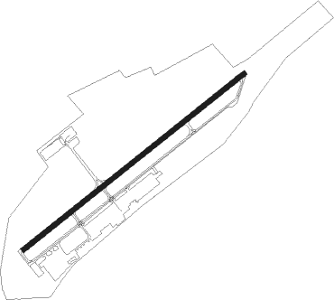
Airport details
| Country | United States of America |
| State | Virginia |
| Region | K6 |
| Airspace | Atlanta Ctr |
| Municipality | Washington County |
| Elevation | 2083ft (635m) |
| Timezone | GMT -5 |
| Coordinates | 36.68710, -82.03333 |
| Magnetic var | |
| Type | land |
| Available since | X-Plane v10.40 |
| ICAO code | KVJI |
| IATA code | VJI |
| FAA code | VJI |
Communication
| Virginia Highlands AWOS 3 | 128.125 |
| Virginia Highlands CTAF/UNICOM | 122.800 |
| Virginia Highlands TRI CITY Approach | 125.250 |
Approach frequencies
| LOC | RW24 | 108.3 | 18.00mi |
Nearby Points of Interest:
Moonlite Drive-In
-Mont Calm
-Abingdon Historic District
-Abingdon Bank
-Dr. William H. Pitts House
-Walnut Grove (Bristol, Virginia)
-White's Mill
-Douglass School
-Virginia Intermont College
-Virginia Middle School
-Euclid Avenue Historic District (Bristol, Virginia)
-Bristol Warehouse Historic District
-Bristol
-Solar Hill Historic District
-King-Lancaster-McCoy-Mitchell House
-Virginia Hill Historic District
-Bristol Commercial Historic District
-Edmondson Hall
-Emory and Henry College
-Crabtree-Blackwell Farm
-Brook Hall
-Stephen B. Quillen House
-Samuel Gilmer House
-Carter Hill (Lebanon, Virginia)
-Old Russell County Courthouse
Nearby beacons
| code | identifier | dist | bearing | frequency |
|---|---|---|---|---|
| GZG | GLADE SPRING (BLACKFORD) VOR/DME | 8.5 | 342° | 110.20 |
| HMV | HOLSTON MOUNTAIN VORTAC | 15.7 | 201° | 114.60 |
| TR | MOCCA(BRISTOL-JOHNSON-KINGSPOR NDB | 15.8 | 245° | 299 |
| JJC | MOUNTAIN CITY NDB | 19.1 | 142° | 396 |
| BO | BOOIE (BRISTOL) NDB | 28.2 | 238° | 221 |
| BAR | HEMLOCK (BANNER ELK) NDB | 32.8 | 164° | 320 |
| JUH | ASHEE (JEFFERSON) NDB | 37.5 | 110° | 410 |
| RVN | ROGERSVILLE NDB | 43.3 | 255° | 329 |
| BLF | BLUEFIELD VOR/DME | 54.8 | 54° | 110 |
| FIQ | FIDDLERS (MORGANTON) NDB | 61.2 | 160° | 391 |
| BZM | BARRETTS MOUNTAIN (HICKOR VOR/DME | 62.3 | 136° | 113.75 |
| HK | TAWBA (HICKORY) NDB | 64.5 | 141° | 332 |
Instrument approach procedures
| runway | airway (heading) | route (dist, bearing) |
|---|---|---|
| RW06 | HILTO (91°) | HILTO HOSED (12mi, 122°) 4600ft |
| RW06 | TAKEN (51°) | TAKEN HOSED (18mi, 44°) 4600ft |
| RNAV | HOSED 4600ft FOSEK (6mi, 61°) 3900ft KVJI (6mi, 61°) 2108ft (5022mi, 114°) 2443ft KURRU (5012mi, 294°) 7300ft KURRU (turn) 7300ft | |
| RW24 | HMV (21°) | HMV KURRU (26mi, 40°) 6700ft KURRU (turn) 5100ft |
| RW24 | MIFJU (231°) | MIFJU KURRU (5mi, 200°) 5100ft |
| RW24 | STOVE (263°) | STOVE ZOLUB (14mi, 268°) 6600ft KURRU (6mi, 295°) 5100ft |
| RNAV | KURRU 5100ft AKQON (6mi, 242°) 4000ft VIMIW (3mi, 242°) 3100ft KVJI (3mi, 242°) 2145ft (5022mi, 114°) 2900ft KURRU (5012mi, 294°) 5100ft KURRU (turn) |
Disclaimer
The information on this website is not for real aviation. Use this data with the X-Plane flight simulator only! Data taken with kind consent from X-Plane 12 source code and data files. Content is subject to change without notice.