Friendly - Potomac
Airport details
| Country | United States of America |
| State | Maryland |
| Region | K6 |
| Airspace | Washington Ctr |
| Municipality | Prince George's County |
| Elevation | 115ft (35m) |
| Timezone | GMT -5 |
| Coordinates | 38.74864, -76.95592 |
| Magnetic var | |
| Type | land |
| Available since | X-Plane v10.40 |
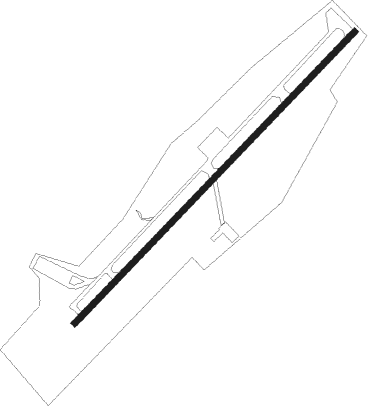
| ICAO code | KVKX |
| IATA code | n/a |
| FAA code | VKX |
Communication
| Potomac CTAF/UNICOM | 122.800 |
| Potomac POTOMAC Approach/Departure | 124.700 |
Nearby Points of Interest:
Wyoming
-Harmony Hall
-Oxon Hill Manor
-Butler House
-Oxon Cove Park and Oxon Hill Farm
-Tauxemont Historic District
-Fairfax-Moore House
-Bank of Alexandria
-Alexandria City Hall
-Appomattox
-Odd Fellows Hall
-Hard Bargain Farm
-Moses Hepburn Rowhouses
-Alexandria Canal
-Accokeek Creek Site
-Bayne-Fowle House
-Lloyd House
-Lee-Fendall House
-Robert E. Lee Boyhood Home
-His Lordship's Kindness
-Bellevue
-Tower House
-Uptown-Parker-Gray Historic District
-William W. Early House
-Early Family Historic District
Nearby beacons
| code | identifier | dist | bearing | frequency |
|---|---|---|---|---|
| DCA | OXONN (WASHINGTON) NDB | 3.5 | 284° | 332 |
| ADW | ANDREWS (CAMP SPRINGS) VORTAC | 5.4 | 57° | 113.10 |
| DCA | WASHINGTON, D.C. VOR/DME | 7.6 | 324° | 111 |
| DAA | DAVEE (FT BELVOIR) NDB | 8.9 | 241° | 223 |
| OTT | NOTTINGHAM VORTAC | 10.2 | 101° | 113.70 |
| GTN | GEORGETOWN (WASH., D.C.) NDB | 13.4 | 317° | 323 |
| BUH | ANNE ARUNDEL (FT MEADE) NDB | 22.1 | 30° | 260 |
| AML | ARMEL (WASH.,D.C.) VOR/DME | 26.3 | 290° | 113.50 |
| BAL | BALTIMORE VORTAC | 28.8 | 35° | 115.10 |
| BRV | BROOKE VORTAC | 31 | 224° | 114.50 |
| FND | ELLICOTT (BALTIMORE) NDB | 33.4 | 18° | 371 |
| EZF | SHANNON (FREDERICKSBURG) NDB | 37.1 | 226° | 237 |
| NHK | PATUXENT NDB | 38 | 130° | 400 |
| PXT | PATUXENT (PATUXENT RIVER) VORTAC | 38 | 130° | 117.60 |
| CSN | CASANOVA VORTAC | 43.1 | 263° | 116.30 |
| MTN | MARTIN (BALTIMORE) TACAN | 43.2 | 43° | 134.10 |
| FDK | FREDERICK VOR | 44.3 | 328° | 109 |
| EMI | WESTMINSTER VORTAC | 44.8 | 358° | 117.90 |
| MSQ | NAILR (CULPEPER) NDB | 47.9 | 253° | 351 |
| MRB | MARTINSBURG VORTAC | 56.5 | 306° | 112.10 |
| HGR | HAGERSTOWN VOR | 70.7 | 317° | 109.80 |
Departure and arrival routes
| Transition altitude | 18000ft |
| Transition level | 18000ft |
| STAR starting points | distance | inbound heading | |
|---|---|---|---|
| ALL | |||
| TIKEE3 | 61.1 | 84° | |
Instrument approach procedures
| runway | airway (heading) | route (dist, bearing) |
|---|---|---|
| RW06 | IRONS (35°) | IRONS WOBUB (6mi, 350°) 1700ft |
| RW06 | WOBUB (55°) | WOBUB 1700ft |
| RNAV | WOBUB 1700ft CRROL (6mi, 55°) 1500ft KVKX (4mi, 55°) 157ft (4796mi, 117°) 518ft WOBUB (4803mi, 297°) 1700ft WOBUB (turn) |
Disclaimer
The information on this website is not for real aviation. Use this data with the X-Plane flight simulator only! Data taken with kind consent from X-Plane 12 source code and data files. Content is subject to change without notice.