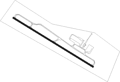
Vermillion - Harold Davidson Fld
Airport details
| Country | United States of America |
| State | South Dakota |
| Region | K3 |
| Airspace | Minneapolis Ctr |
| Municipality | Clay County |
| Elevation | 1145ft (349m) |
| Timezone | GMT -6 |
| Coordinates | 42.76528, -96.93425 |
| Magnetic var | |
| Type | land |
| Available since | X-Plane v10.40 |
| ICAO code | KVMR |
| IATA code | n/a |
| FAA code | VMR |
Communication
| Harold Davidson Fld CTAF/UNICOM | 122.800 |
| Harold Davidson Fld SIOUX CITY Approach/Departure | 124.600 |
Nearby Points of Interest:
Linden House
-Clay County Courthouse
-St. Agnes Catholic Church
-Saints Philip and James Parochial School
-William Andre House
-United Brethren Church
-Ponca Historic District
-Dixon County Courthouse
-Cook Blacksmith Shop
-Volin Town Hall
-Baker House
-Hartington City Hall and Auditorium
-Hartington Hotel
-Akron Opera House
-Cedar County Courthouse
-Van Osdel House
-United Church of Christ
-South Dakota Department of Transportation Bridge No. 63-210-282
-Governor William J. Bulow House
-Governor John L. Pennington House
-Yankton College
-Chicago, Milwaukee and St. Paul Depot
-Dr. B.M. Banton House
-Aggergaard Manor
-Harold A. (H.A.) Doyle House
Nearby beacons
| code | identifier | dist | bearing | frequency |
|---|---|---|---|---|
| YK | CAGUR (YANKTON) NDB | 16.8 | 282° | 347 |
| YKN | YANKTON VOR/DME | 21.8 | 289° | 111.40 |
| OI | TOMMI (SIOUX CITY) NDB | 27.7 | 123° | 305 |
| SUX | SIOUX CITY TACAN | 36.9 | 125° | 116.50 |
| SU | SALIX (SOUIX CITY) NDB | 38.7 | 124° | 414 |
| FS | ROKKY (SIOUX FALLS) NDB | 44 | 8° | 245 |
| OFK | NORFOLK VOR/DME | 51.6 | 213° | 109.60 |
| FSD | SIOUX FALLS VORTAC | 53.5 | 10° | 115 |
Instrument approach procedures
| runway | airway (heading) | route (dist, bearing) |
|---|---|---|
| RW12 | HURLI (320°) | HURLI WAPIR (24mi, 308°) 3500ft WAPIR (turn) 3500ft |
| RW12 | JAKDI (140°) | JAKDI WAPIR (8mi, 193°) 3500ft |
| RW12 | YKN (109°) | YKN WAPIR (9mi, 97°) 3500ft |
| RNAV | WAPIR 3500ft ZUGPI (7mi, 118°) 3000ft YOVUP (3mi, 118°) 2040ft KVMR (3mi, 118°) 1183ft (5711mi, 114°) 1470ft IKUBE (5701mi, 294°) 3500ft IKUBE (turn) | |
| RW30 | ATLES (353°) | ATLES WONUV (10mi, 29°) 3500ft IKUBE (8mi, 44°) 3500ft |
| RW30 | ESTIS (260°) | ESTIS UWLIS (5mi, 196°) 3500ft IKUBE (8mi, 225°) 3500ft |
| RW30 | IKUBE (298°) | IKUBE 3500ft |
| RNAV | IKUBE 3500ft EDCIR (7mi, 298°) 3000ft UZCAW (3mi, 298°) 2040ft KVMR (3mi, 298°) 1183ft (5711mi, 114°) 1470ft WAPIR (5720mi, 294°) 3500ft WAPIR (turn) |
Disclaimer
The information on this website is not for real aviation. Use this data with the X-Plane flight simulator only! Data taken with kind consent from X-Plane 12 source code and data files. Content is subject to change without notice.