Winnemucca - Winnemucca Muni
Airport details
| Country | United States of America |
| State | Nevada |
| Region | K2 |
| Airspace | Salt Lake City Ctr |
| Municipality | Humboldt County |
| Elevation | 4308ft (1313m) |
| Timezone | GMT -8 |
| Coordinates | 40.89661, -117.80589 |
| Magnetic var | |
| Type | land |
| Available since | X-Plane v10.40 |
| ICAO code | KWMC |
| IATA code | WMC |
| FAA code | WMC |
Communication
| Winnemucca Muni ASOS | 120.175 |
| Winnemucca Muni CTAF/UNICOM | 122.800 |
Nearby Points of Interest:
Humboldt County Courthouse
Runway info
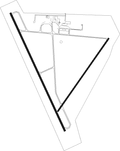
Runway 14 / 32  | ||
| length | 2136m (7008ft) | |
| bearing | 154° / 334° | |
| width | 30m (98ft) | |
| surface | asphalt | |
| blast zone | 61m (200ft) / 61m (200ft) | |
| Runway 2 / 20 | ||
| length | 1463m (4800ft) | |
| bearing | 48° / 228° | |
| width | 23m (75ft) | |
| surface | asphalt | |
| blast zone | 0m (0ft) / 46m (151ft) | |
Nearby beacons
| code | identifier | dist | bearing | frequency |
|---|---|---|---|---|
| INA | WINNEMUCCA VOR/DME | 0.3 | 293° | 108.20 |
| SDO | SOD HOUSE VORTAC | 32.3 | 336° | 111.45 |
| BAM | BATTLE MOUNTAIN VORTAC | 44.7 | 110° | 112.20 |
| LLC | LOVELOCK VORTAC | 58.2 | 225° | 116.50 |
Departure and arrival routes
| Transition altitude | 18000ft |
| Transition level | 18000ft |
| SID end points | distance | outbound heading | |
|---|---|---|---|
| RW02 | |||
| INA1 | 24mi | 158° | |
| RW14 | |||
| INA1 | 24mi | 158° | |
| RW20 | |||
| INA1 | 24mi | 158° | |
| RW32 | |||
| INA1 | 24mi | 158° | |
Instrument approach procedures
| runway | airway (heading) | route (dist, bearing) |
|---|---|---|
| RW14 | GOWZE (117°) | GOWZE TOWOD (17mi, 97°) 7400ft |
| RW14 | SDO (156°) | SDO LOKKA (9mi, 163°) 8700ft BOZJE (6mi, 154°) 7700ft TOWOD (5mi, 154°) 7400ft |
| RNAV | TOWOD 7400ft WINQY (6mi, 154°) 6300ft KWMC (7mi, 152°) 4341ft (6645mi, 109°) 4708ft MUXSU (6645mi, 289°) CUTVA (31mi, 158°) 12000ft CUTVA (turn) | |
| RW32 | FESKO (338°) | FESKO BUNFI (6mi, 341°) 9100ft DUGDE (6mi, 341°) 7200ft |
| RNAV | DUGDE 7200ft PUHGI (6mi, 334°) 6300ft KWMC (7mi, 335°) 4348ft (6645mi, 109°) 4554ft EXATY (6645mi, 289°) SDO (31mi, 336°) 10000ft SDO (turn) |
Disclaimer
The information on this website is not for real aviation. Use this data with the X-Plane flight simulator only! Data taken with kind consent from X-Plane 12 source code and data files. Content is subject to change without notice.