Waterville - Waterville Robert Lafleur
Airport details
| Country | United States of America |
| State | Maine |
| Region | K6 |
| Airspace | Boston Ctr |
| Municipality | Waterville |
| Elevation | 333ft (101m) |
| Timezone | GMT -5 |
| Coordinates | 44.53325, -69.67553 |
| Magnetic var | |
| Type | land |
| Available since | X-Plane v10.40 |
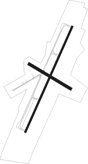
| ICAO code | KWVL |
| IATA code | WVL |
| FAA code | WVL |
Communication
| Waterville Robert Lafleur AWOS 3 | 118.375 |
| Waterville Robert Lafleur CTAF/UNICOM | 122.700 |
| Waterville Robert Lafleur PORTLAND Approach/Departure | 124.250 |
Approach frequencies
| ILS-cat-I | RW05 | 110.5 | 18.00mi |
| 3° GS | RW05 | 110.5 | 18.00mi |
Nearby Points of Interest:
Oakland Public Library
-Old Waterville High School
-Lockwood Mill Historic District
-Waterville Main Street Historic District
-Old Waterville Post Office
-William F. Grant House
-River Meetinghouse
-Amos Gerald House
-Connor-Bovie House
-Gov. Samuel Cony House
-Dutton-Small House
-Philip Leach House
-Good Will-Hinckley
-Pond Meeting House
-Pendle Hill
-South China Meeting House
-Eaton School
-Norridgewock Free Public Library
-Sophie May House
-Old Cony High School
-Sturgis and Haskell Building
-Whitehouse Block
-Williams Block
-D.V. Adams Co.-Bussell and Weston
-Libby-Hill Block

Nearby beacons
| code | identifier | dist | bearing | frequency |
|---|---|---|---|---|
| AU | DUNNS (AUGUSTA) NDB | 10.8 | 237° | 366 |
| AUG | AUGUSTA VOR/DME | 13.8 | 210° | 114.95 |
| BUP | BURNHAM (PITTSFIELD) NDB | 16.7 | 63° | 348 |
| SUH | SPRUCEHEAD (OWLS HEAD) NDB | 37.9 | 130° | 356 |
| BGR | BANGOR VORTAC | 38.9 | 69° | 114.80 |
| LE | LEWIE (AUBURN-LEWISTON) NDB | 44.5 | 229° | 240 |
Instrument approach procedures
| runway | airway (heading) | route (dist, bearing) |
|---|---|---|
| RW05 | ANSYN (123°) | ANSYN COLBB (20mi, 173°) 4100ft PEYSI (7mi, 111°) 3000ft |
| RW05 | NOLLI (49°) | NOLLI PEYSI (20mi, 56°) 3000ft |
| RW05 | PEYSI (37°) | PEYSI 3000ft |
| RW05 | RAZZR (344°) | RAZZR HIRIM (5mi, 317°) 3000ft PEYSI (8mi, 291°) 3000ft |
| RNAV | PEYSI 3000ft CVLRY (7mi, 37°) 1900ft EKLAY (3mi, 37°) 920ft KWVL (2mi, 37°) 316ft (4544mi, 123°) 1000ft PEYSI (4547mi, 302°) 3000ft PEYSI (turn) | |
| RW23 | PUVIE (203°) | PUVIE CUDIB (5mi, 163°) 3000ft |
| RW23 | TICBU (267°) | TICBU LIPVE (13mi, 295°) 3000ft CUDIB (5mi, 286°) 3000ft |
| RNAV | CUDIB 3000ft FONUB (6mi, 217°) 2000ft YIKUP (3mi, 217°) 980ft KWVL (2mi, 217°) 378ft (4544mi, 123°) 583ft JEGIS (4545mi, 303°) RAZZR (16mi, 152°) 3000ft RAZZR (turn) |
Disclaimer
The information on this website is not for real aviation. Use this data with the X-Plane flight simulator only! Data taken with kind consent from X-Plane 12 source code and data files. Content is subject to change without notice.