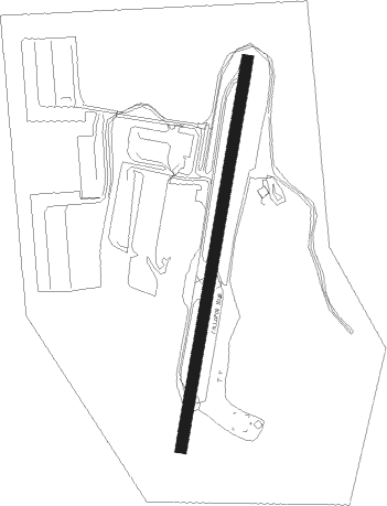
Fallbrook - Fallbrook Community Airpark
Airport details
| Country | United States of America |
| State | California |
| Region | |
| Airspace | Los Angeles Ctr |
| Municipality | CAL Fire San Diego Unit |
| Elevation | 708ft (216m) |
| Timezone | GMT -8 |
| Coordinates | 33.35754, -117.24943 |
| Magnetic var | |
| Type | land |
| Available since | X-Plane v10.40 |
| ICAO code | L18 |
| IATA code | n/a |
| FAA code | L18 |
Communication
| Fallbrook Community Airpark CTAF | 123.050 |
Nearby Points of Interest:
Mount Ecclesia
-Las Flores Estancia
-Americanization School
-Oceanside City Hall and Fire Station
-Carlsbad Santa Fe Depot
-Rancho De Los Kiotes
-Goldschmidt House
-Olivenhain Town Meeting Hall
-Greystone Villa-Cabin 18
-Rancho Santa Fe
-Frank A. Forster House
-Esslinger Building
-Richard Egan House
-Canfield-Wright House
-Dana Point
-Perris Depot
-Johnson-Taylor Ranch Headquarters
-Guy and Margaret Fleming House
-Torrey Pines Lodge
-Jose Serrano Adobe
-Torrey Pines Gliderport
-Modjeska House
-St. Francis by-the-Sea American Catholic Church
-Old Scripps Building
-La Jolla Woman's Club
Nearby beacons
| code | identifier | dist | bearing | frequency |
|---|---|---|---|---|
| NFG | CAMP PENDLETON (OCEANSIDE TACAN | 8.4 | 239° | 111.80 |
| OCN | OCEANSIDE VORTAC | 10.9 | 235° | 115.30 |
| HDF | HOMELAND (RIVERSIDE) VOR | 25.3 | 9° | 113.40 |
| NKX | MIRAMAR (SAN DIEGO) TACAN | 29.6 | 169° | 109.60 |
| ELB | EL TORO (SANTA ANA) VOR/DME | 30.7 | 303° | 117.20 |
| RIV | MARCH (RIVERSIDE) TACAN | 32.9 | 357° | 113 |
| MZB | MISSION BAY (SAN DIEGO) VORTAC | 34.5 | 178° | 117.80 |
| JLI | JULIAN VORTAC | 35.7 | 108° | 114 |
| PDZ | PARADISE (ONTARIO) VORTAC | 36.4 | 333° | 112.20 |
| RAL | RIVERSIDE VOR | 37.2 | 341° | 112.40 |
| NZY | NORTH ISLAND (SAN DIEGO) TACAN | 39.3 | 177° | 117 |
| SB | PETIS (SAN BERNARDINO) NDB | 42.3 | 351° | 397 |
| PGY | POGGI (SAN DIEGO) VORTAC | 46.8 | 160° | 116.45 |
| SLI | SEAL BEACH (LOS ALAMITOS) VORTAC | 47.7 | 298° | 115.70 |
| NRS | IMPERIAL BEACH TACAN | 48.1 | 170° | 109.20 |
| POM | POMONA VORTAC | 50.9 | 323° | 110.40 |
| PSP | PALM SPRINGS VORTAC | 51.2 | 58° | 115.50 |
| TIJ | TIJUANA VOR/DME | 51.3 | 160° | 116.50 |
Disclaimer
The information on this website is not for real aviation. Use this data with the X-Plane flight simulator only! Data taken with kind consent from X-Plane 12 source code and data files. Content is subject to change without notice.