Meadview - Pearce Ferry
Airport details
| Country | United States of America |
| State | Arizona |
| Region | |
| Airspace | Los Angeles Ctr |
| Municipality | Mohave County |
| Elevation | 2938ft (896m) |
| Timezone | GMT -7 |
| Coordinates | 36.08920, -114.04822 |
| Magnetic var | |
| Type | land |
| Available since | X-Plane v10.40 |
| ICAO code | L25 |
| IATA code | n/a |
| FAA code | L25 |
Communication
| Pearce Ferry CTAF | 122.900 |
Nearby Points of Interest:
Horse Valley Ranch
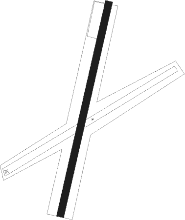
Runway info
| Runway 01 / 19 | ||
| length | 1023m (3356ft) | |
| bearing | 21° / 201° | |
| width | 34m (110ft) | |
| surface | dirt | |
Nearby beacons
| code | identifier | dist | bearing | frequency |
|---|---|---|---|---|
| PGS | PEACH SPRINGS VOR/DME | 37.1 | 133° | 112 |
| BLD | BOULDER CITY VORTAC | 39.9 | 263° | 116.70 |
| MMM | MORMON MESA VORTAC | 42.3 | 341° | 114.30 |
| LSV | NELLIS (LAS VEGAS) TACAN | 48.2 | 279° | 135.50 |
| IGM | KINGMAN VOR/DME | 50 | 172° | 108.80 |
| UTI | ST GEORGE VOR/DME | 61.3 | 30° | 108.60 |
Disclaimer
The information on this website is not for real aviation. Use this data with the X-Plane flight simulator only! Data taken with kind consent from X-Plane 12 source code and data files. Content is subject to change without notice.