Jonesville
Airport details
| Country | United States of America |
| State | Louisiana |
| Region | K4 |
| Airspace | Houston Oceanic Ctr |
| Municipality | Jonesville |
| Elevation | 56ft (17m) |
| Timezone | GMT -6 |
| Coordinates | 31.62026, -91.83429 |
| Magnetic var | |
| Type | land |
| Available since | X-Plane v11.51r1 |
| ICAO code | L32 |
| IATA code | n/a |
| FAA code | n/a |
Communication
| Jonesville CTAF | 122.900 |
Nearby Points of Interest:
Frogmore Mound Site
-Frogmore Plantation (Louisiana)
-Catahoula Parish Courthouse
-Ferriday Commercial Historic District
-Zappe Boarding House
-Mamie S. Barrett
-Concordia Parish Courthouse
-Natchez Bluffs and Under-the-Hill Historic District
-The Briars
-Rosalie Mansion
-Smith-Bontura-Evans House
-Richmond
-Ravennaside
-Downriver Residential Historic District
-Commercial Bank and Banker's House
-House on Ellicott's Hill
-Ravenna
-Magnolia Hall
-United States Courthouse
-Neibert-Fisk House
-Natchez On-Top-of-the-Hill Historic District
-The Manse
-Clifton Heights Historic District
-Green Leaves
-Dr. Charles H. Dubs Townhouse
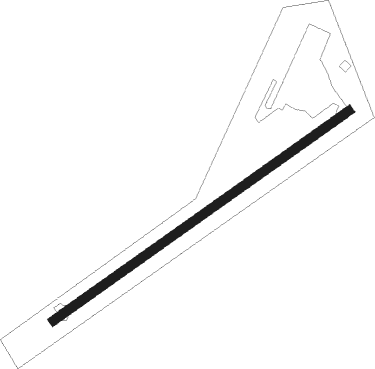
Runway info
| Runway 4 / 22 | ||
| length | 915m (3002ft) | |
| bearing | 63° / 243° | |
| width | 23m (75ft) | |
| surface | asphalt | |
Nearby beacons
| code | identifier | dist | bearing | frequency |
|---|---|---|---|---|
| HEZ | NATCHEZ VOR/DME | 27.3 | 90° | 110 |
| HAH | NATCHEZ-ADAMS COUNTY NDB | 27.9 | 83° | 388 |
| AEX | ALEXANDRIA VORTAC | 40.5 | 241° | 116.10 |
| SWB | SAWMILL (WINNFIELD) VOR/DME | 47.9 | 293° | 113.75 |
| ML | SABAR (MONROE) NDB | 51.9 | 342° | 392 |
| MLU | MONROE VORTAC | 54.8 | 347° | 117.20 |
| TKH | TALLULAH (VICKSBURG/TALLULAH) NDB | 55.7 | 52° | 344 |
| ROQ | RUSTON NDB | 70.6 | 323° | 368 |
Disclaimer
The information on this website is not for real aviation. Use this data with the X-Plane flight simulator only! Data taken with kind consent from X-Plane 12 source code and data files. Content is subject to change without notice.