Peach Springs - Grand Canyon Caverns
Airport details
| Country | United States of America |
| State | Arizona |
| Region | |
| Airspace | Los Angeles Ctr |
| Municipality | Yavapai County |
| Elevation | 5386ft (1642m) |
| Timezone | GMT -7 |
| Coordinates | 35.52431, -113.25526 |
| Magnetic var | |
| Type | land |
| Available since | X-Plane v10.40 |
| ICAO code | L37 |
| IATA code | n/a |
| FAA code | L37 |
Communication
Nearby Points of Interest:
John Osterman Gas Station
-Schoolhouse at Truxton Canyon Training School
-Seligman Commercial Historic District
-Delgadillo's Snow Cap Drive-In
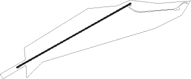
Runway info
| Runway 05 / 23 | ||
| length | 1555m (5102ft) | |
| bearing | 69° / 249° | |
| width | 14m (45ft) | |
| surface | gravel | |
Nearby beacons
| code | identifier | dist | bearing | frequency |
|---|---|---|---|---|
| PGS | PEACH SPRINGS VOR/DME | 15.3 | 289° | 112 |
| IGM | KINGMAN VOR/DME | 36.8 | 249° | 108.80 |
| DRK | DRAKE (PRESCOTT) VORTAC | 62.3 | 137° | 114.10 |
Disclaimer
The information on this website is not for real aviation. Use this data with the X-Plane flight simulator only! Data taken with kind consent from X-Plane 12 source code and data files. Content is subject to change without notice.