Shoshone
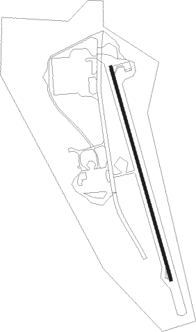
Airport details
| Country | United States of America |
| State | California |
| Region | |
| Airspace | Los Angeles Ctr |
| Municipality | CAL Fire San Bernardino Unit |
| Elevation | 1566ft (477m) |
| Timezone | GMT -8 |
| Coordinates | 35.97181, -116.27008 |
| Magnetic var | |
| Type | land |
| Available since | X-Plane v10.40 |
| ICAO code | L61 |
| IATA code | n/a |
| FAA code | L61 |
Communication
Nearby Points of Interest:
amargosa opera house & hotel
-Eagle Borax Works
Nearby beacons
| code | identifier | dist | bearing | frequency |
|---|---|---|---|---|
| GOG | DME | 37.9 | 96° | 112.05 |
| INS | INDIAN SPRINGS TACAN | 46.9 | 44° | 114 |
| BTY | BEATTY VORTAC | 54.8 | 330° | 114.70 |
Disclaimer
The information on this website is not for real aviation. Use this data with the X-Plane flight simulator only! Data taken with kind consent from X-Plane 12 source code and data files. Content is subject to change without notice.