Jacumba
Airport details
| Country | United States of America |
| State | California |
| Region | |
| Airspace | Los Angeles Ctr |
| Municipality | San Diego County |
| Elevation | 2814ft (858m) |
| Timezone | GMT -8 |
| Coordinates | 32.61541, -116.16969 |
| Magnetic var | |
| Type | land |
| Available since | X-Plane v10.40 |
| ICAO code | L78 |
| IATA code | n/a |
| FAA code | L78 |
Communication
Nearby Points of Interest:
Desert View Tower
-El Centro Main Post Office
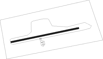
Runway info
| Runway 7 / 25 | ||
| length | 782m (2566ft) | |
| bearing | 84° / 264° | |
| width | 18m (60ft) | |
| surface | asphalt | |
Nearby beacons
| code | identifier | dist | bearing | frequency |
|---|---|---|---|---|
| NJK | EL CENTRO TACAN | 27.8 | 66° | 111 |
| IPL | IMPERIAL VORTAC | 34.3 | 79° | 115.90 |
| JLI | JULIAN VORTAC | 37.8 | 322° | 114 |
| TIJ | TIJUANA VOR/DME | 39.8 | 265° | 116.50 |
| PGY | POGGI (SAN DIEGO) VORTAC | 40.9 | 270° | 116.45 |
| MXL | MEXICALI VOR/DME | 47.1 | 89° | 115 |
| NRS | IMPERIAL BEACH TACAN | 47.6 | 267° | 109.20 |
| NKX | MIRAMAR (SAN DIEGO) TACAN | 52 | 284° | 109.60 |
| ENS | ENSENADA NDB | 54 | 208° | 400 |
Disclaimer
The information on this website is not for real aviation. Use this data with the X-Plane flight simulator only! Data taken with kind consent from X-Plane 12 source code and data files. Content is subject to change without notice.